Galateo, Toa Alta
#3 among attractions in Toa Alta
Facts and practical information
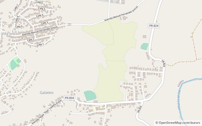
Galateo is a barrio in the municipality of Toa Alta, Puerto Rico. Its population in 2010 was 5,917. ()
GalateoToa Alta Puerto Rico
Galateo – popular in the area (distance from the attraction)
Nearby attractions include: Iglesia de la Inmaculada Concepción de Vega Alta, Jesús Izcoa Moure Bridge, Puerto Rico National Cemetery, Plata Bridge.
 Church
Iglesia de la Inmaculada Concepción de Vega Alta, Vega Alta
159 min walk • The Iglesia de la Inmaculada Concepción de Vega Alta is a church built by 1831 on the town plaza of Vega Alta, Puerto Rico. It was listed on the U.S. National Register of Historic Places in 1984 as the "Church Inmaculada Conception of Vega Alta".
 Bridge
Jesús Izcoa Moure Bridge
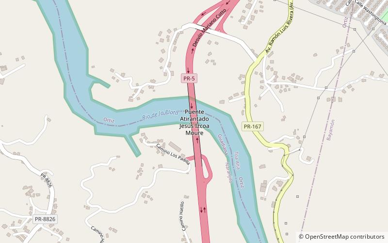
97 min walk • The Jesús Izcoa Moure Bridge is a Cable-stayed bridge that connects the cities of Toa Alta and Naranjito, in Puerto Rico by the Puerto Rico Highway 5.
 Cemetery
Puerto Rico National Cemetery, Bayamón
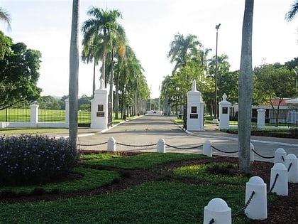
169 min walk • Puerto Rico National Cemetery is a United States national cemetery located in the city of Bayamón, in the Commonwealth of Puerto Rico. It encompasses 108.2 acres of land, and at the end of 2005, had 44,722 interments. Until 2021, it was the only United States National Cemetery in Puerto Rico.
 Bridge
Plata Bridge, Bayamón
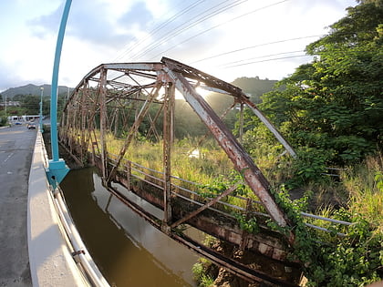
121 min walk • Plata Bridge, listed in Puerto Rico's bridge inventory as Bridge #374 and now also known as Antiguo Puente Plata, was built in 1908.
 Tower
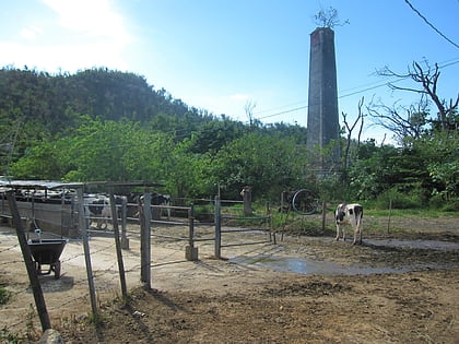
TowerHacienda de Carlos Vassallo, Toa Alta
92 min walk • Hacienda de Carlos Vassallo is a historic place in the town and municipality of Dorado, in Puerto Rico. It is also known as Casa Hacienda de Don Oscar Nevárez, or Hacienda de Río Nuevo.
 Neighbourhood
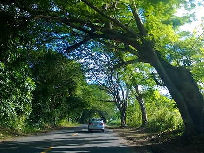
Río Lajas, Toa Alta
64 min walk • Río Lajas is a barrio in the municipality of Dorado, Puerto Rico. Its population in 2010 was 2,559.
 Neighbourhood
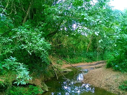
Dos Bocas, Naranjito
134 min walk • Dos Bocas is a rural barrio with an urban zone in the municipality of Corozal, Puerto Rico. Its population in 2010 was 3,060.
 Neighbourhood
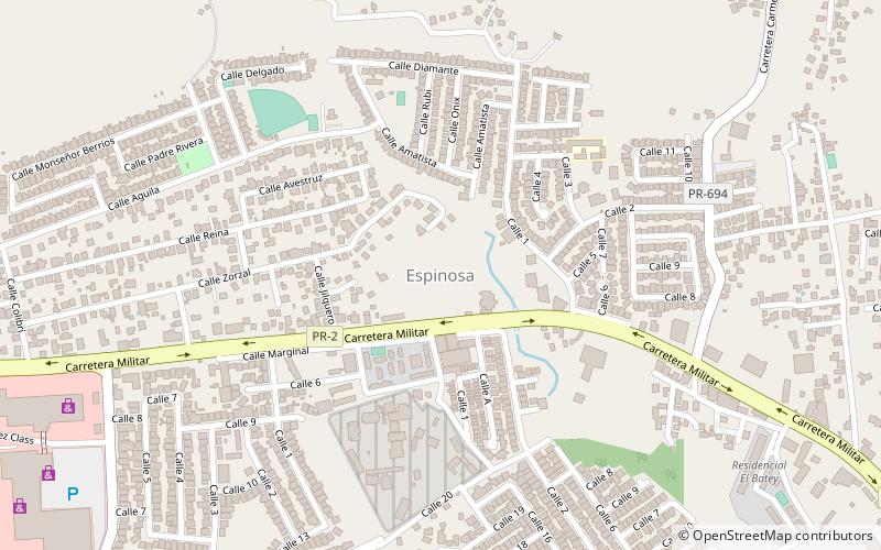
Espinosa, Vega Alta
140 min walk • Espinosa is a barrio in the municipality of Vega Alta, Puerto Rico. Its population in 2010 was 11,706.
 Lake
LakeLa Plata Lake
75 min walk • Lago La Plata is a lake located between the municipalities of Naranjito, Toa Alta, and Bayamón in Puerto Rico. The lake was created in 1973 and serves as a reservoir for potable water.
 Football, Sport, Sport venue
Bayamón Soccer Complex, Bayamón
143 min walk • The Bayamon Soccer Complex is a complex of 2 soccer fields and one 1,000-capacity stadium located in Bayamon, Puerto Rico that is host to several teams of the San Juan–Caguas–Guaynabo metropolitan area. Youth, middle school, high school, and adult recreational soccer is held at the complex.
 Universities and schools
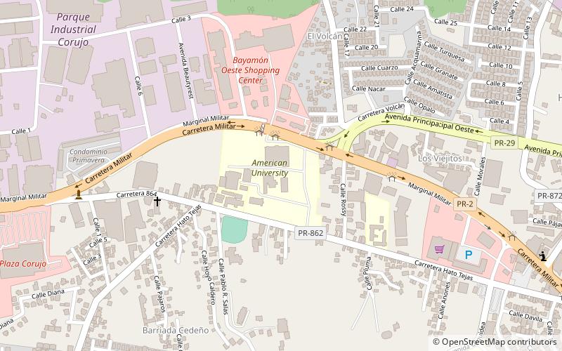
American University of Puerto Rico, Bayamón
136 min walk • The American University of Puerto Rico is a private university in Puerto Rico with campuses in Bayamón and Manatí. The university was founded in 1963 as the American Business College, and offers undergraduate studies in arts, business administration, education, and sciences, and graduate studies in criminal justice.