Cambalache Bridge, Arecibo
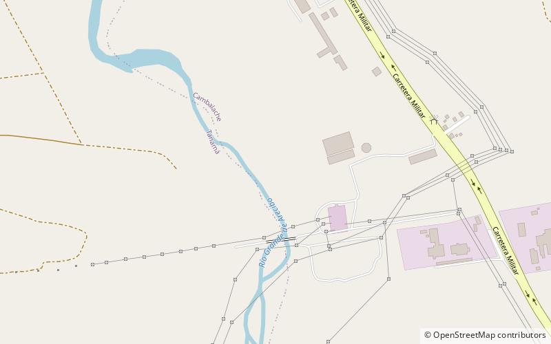
Map
Facts and practical information
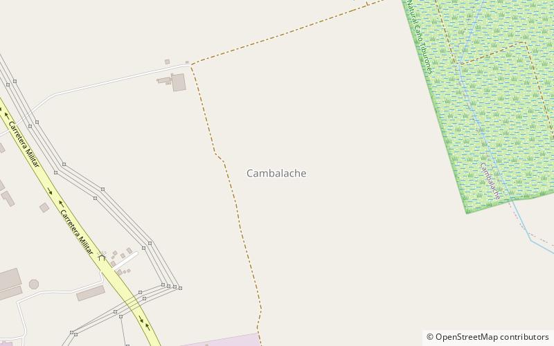
Cambalache Bridge or Puente Francés is a bridge built in 1893 which spans the Río Grande de Arecibo from Cambalache barrio to Tanamá barrio in Arecibo. It is located 100 meters west of Puerto Rico Highway 2, at kilometer 72. ()
Coordinates: 18°27'20"N, 66°42'9"W
Address
Arecibo
ContactAdd
Social media
Add
Day trips
Cambalache Bridge – popular in the area (distance from the attraction)
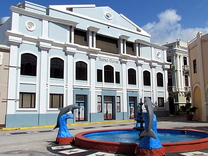
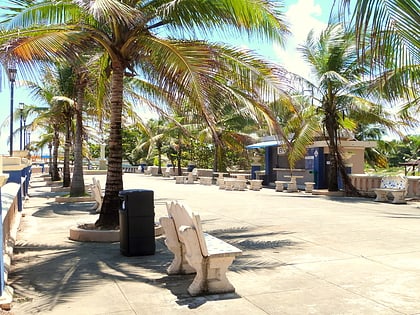
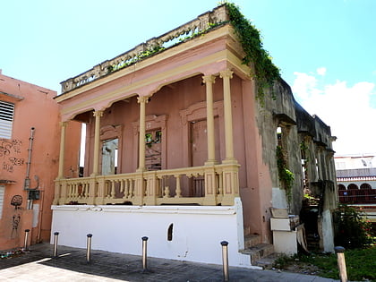
Nearby attractions include: Catedral de San Felipe Apóstol, Corregimiento Plaza Theater, Paseo Víctor Rojas, Casa de la Diosa Mita.

