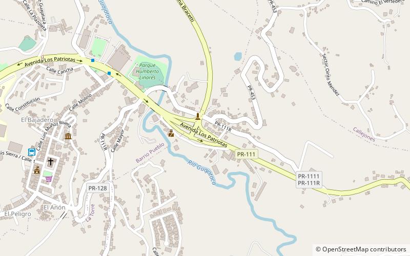
Hacienda Los Torres, Lares

Map
Facts and practical information
The Hacienda Los Torres also known as Casona Los Torres in Lares, Puerto Rico, dates from 1846. It was listed on the National Register of Historic Places in 2006. Designed by Jose Maria Torres y Medina, it is located at the junction of Puerto Rico Highway 111 and Puerto Rico Highway 129. ()
Coordinates: 18°17'48"N, 66°52'16"W
Address
Lares
ContactAdd
Social media
Add