Piton Babet

Gallery (1)
Map

Map
Facts and practical information
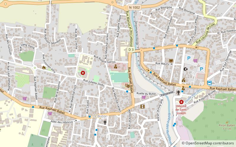
The Piton Babet is a small coastal peak on the island of Reunion, a French overseas region and department in the southwestern Indian Ocean. It is part of the Piton de la Fournaise massif and is located in the commune of Saint-Joseph.
Coordinates: 21°22'53"S, 55°37'20"E
Location
Saint-Pierre
ContactAdd
Social media
Add
Day trips