Country House, Gheorgheni
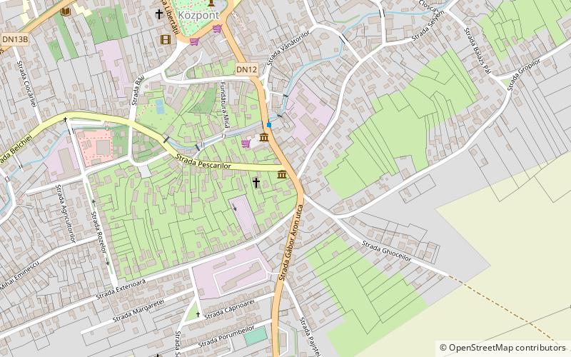
Map
Facts and practical information
Country House is a place located in Gheorgheni (Harghita county) and belongs to the category of museum.
It is situated at an altitude of 2664 feet, and its geographical coordinates are 46°43'4"N latitude and 25°36'9"E longitude.
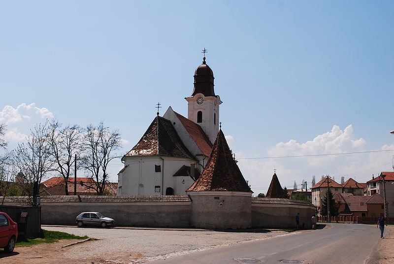
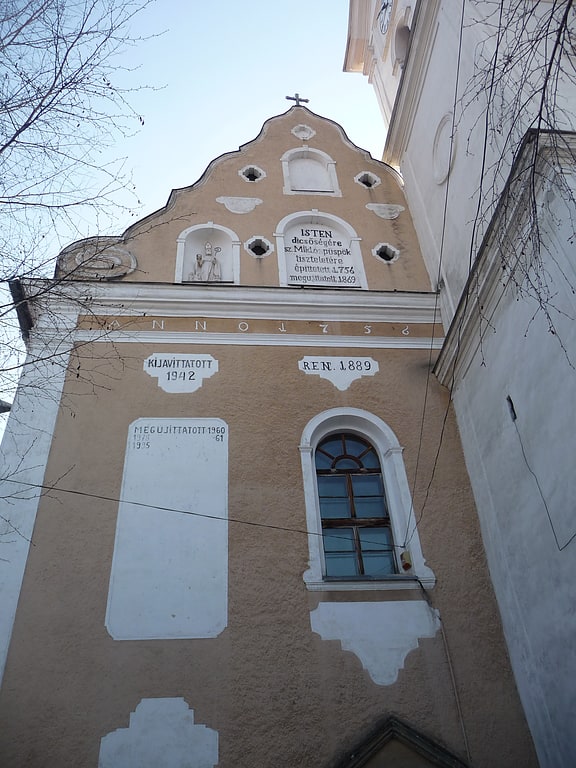
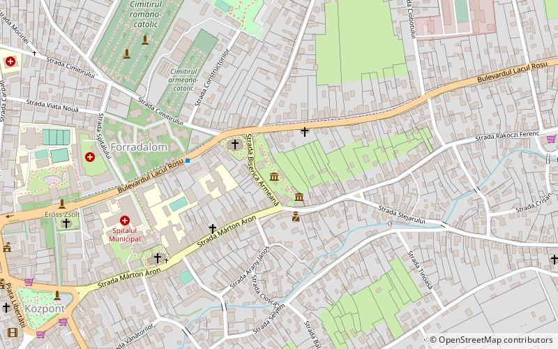
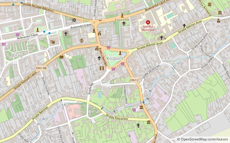
Among other places and attractions worth visiting in the area are: Pro- Art (museum, 2 min walk), Fenyő Központi Áruház (shopping, 6 min walk), Szent Miklós templom (church, 7 min walk).
Local name: TájházCoordinates: 46°43'4"N, 25°36'9"E
Address
Gheorgheni
ContactAdd
Social media
Add
Day trips
Country House – popular in the area (distance from the attraction)
Nearby attractions include: Armenian Church, Patinoar - Jégkorcsolya pálya, Szent Miklós templom, Tarisznyás Márton Múzeum.
Frequently Asked Questions (FAQ)
Which popular attractions are close to Country House?
Nearby attractions include Pro- Art, Gheorgheni (2 min walk), Szent Miklós templom, Gheorgheni (7 min walk), Tarisznyás Márton Múzeum, Gheorgheni (13 min walk), Armenian Church, Gheorgheni (13 min walk).