Dacidava, Șimleu Silvaniei
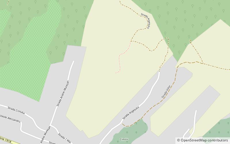
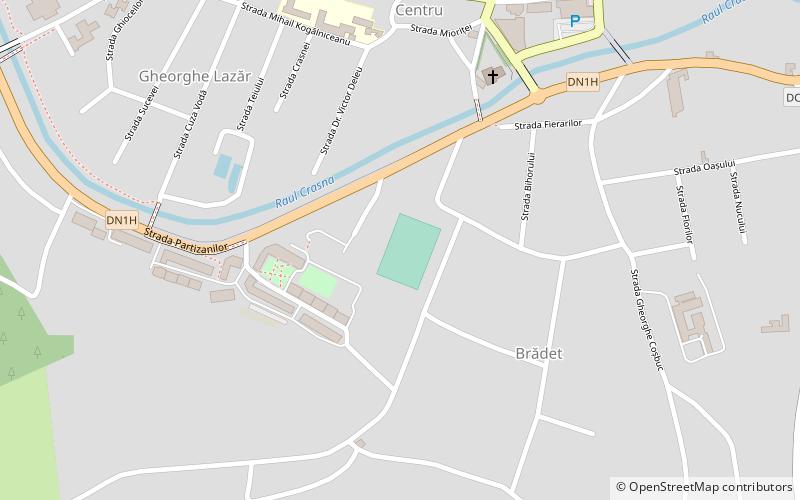
Map
Facts and practical information
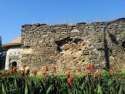
Dacidava was a Dacian fortified town, located in the North-Western part of present Transylvania, Romania, about 35 km North of the border established on Meseș Mountains, which was separating the dacian territory controlled by the Roman Empire and the territories inhabited by the free Dacians. It was built before ca. 5th century and it was in ruins by 1592. The city Șimleu Silvaniei is located near the ancient site of Dacidava. ()
Coordinates: 47°14'11"N, 22°48'3"E
Address
Șimleu Silvaniei
ContactAdd
Social media
Add
Day trips
Dacidava – popular in the area (distance from the attraction)
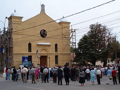
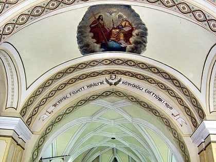
Nearby attractions include: Northern Transylvania Holocaust Memorial Museum, Catholic Church, Báthory Castle, Stadionul Măgura.
Frequently Asked Questions (FAQ)
Which popular attractions are close to Dacidava?
Nearby attractions include Catholic Church, Șimleu Silvaniei (8 min walk), Báthory Castle, Șimleu Silvaniei (11 min walk), Northern Transylvania Holocaust Memorial Museum, Șimleu Silvaniei (11 min walk).
