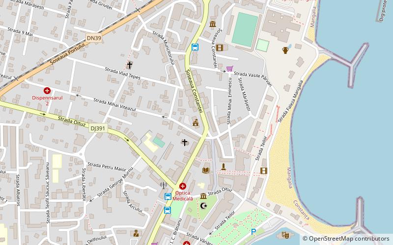
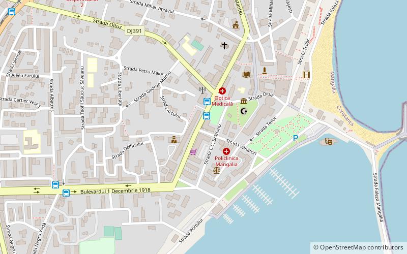
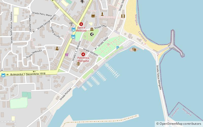
Plaja Mangalia, Mangalia
Facts and practical information
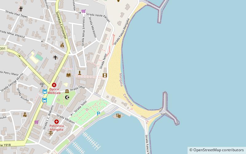
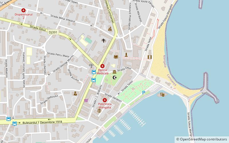
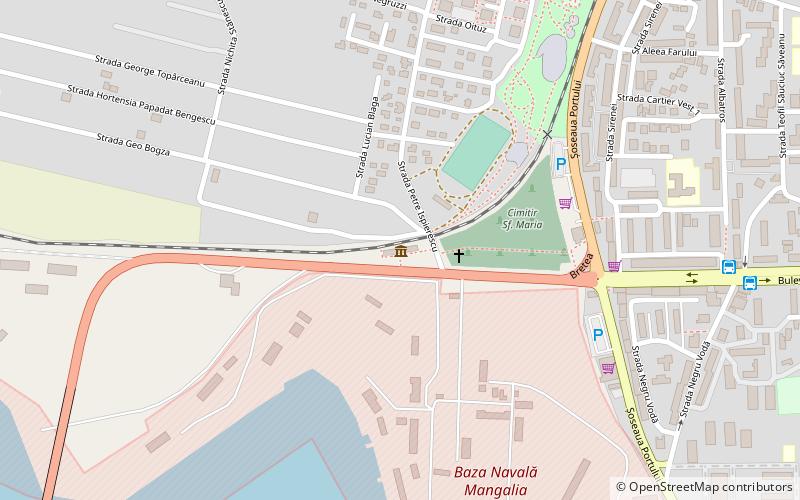
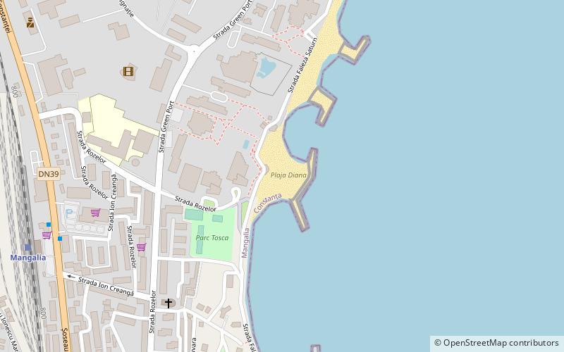
Plaja Mangalia (address: Faleza Mangalia) is a place located in Mangalia (Constanța county) and belongs to the category of beach.
It is situated at an altitude of 0 feet, and its geographical coordinates are 43°48'40"N latitude and 28°35'13"E longitude.
Planning a visit to this place, one can easily and conveniently get there by public transportation. Plaja Mangalia is a short distance from the following public transport stations: Giratoriu (bus, 9 min walk), Mangalia (train, 21 min walk).
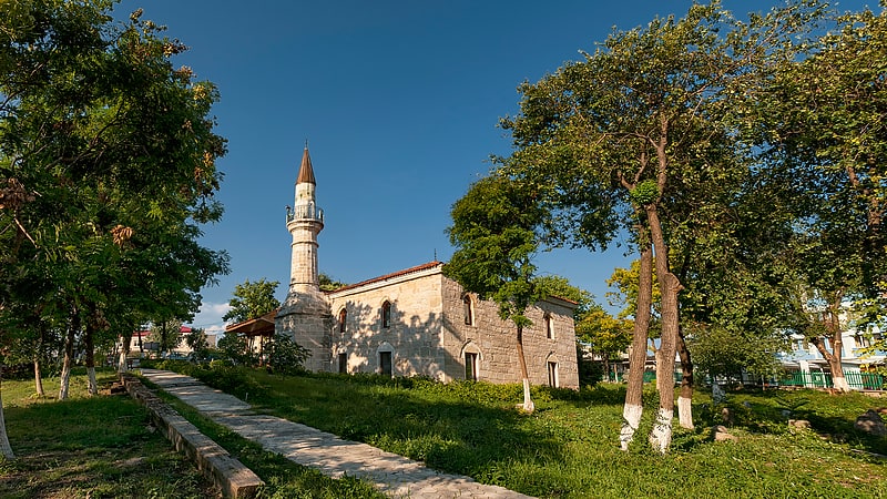
Among other places and attractions worth visiting in the area are: Scena plutitoare (concerts and shows, 4 min walk), "Esma han Sultan" Mosque (museum, 6 min walk), Esmahan Sultan Mosque (historical place, 6 min walk).
Faleza MangaliaMangalia
- Bus
- Train
 Bus
Bus
- Calculate routeGiratoriu 9 min walk
- Calculate routeMangalia 21 min walk
Plaja Mangalia – popular in the area (distance from the attraction)
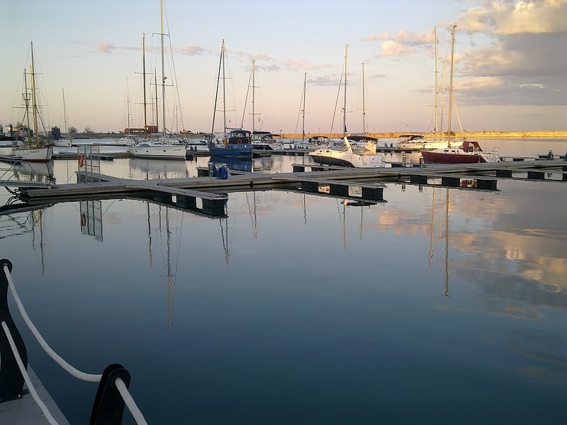
Nearby attractions include: Mangalia Marina, Esmahan Sultan Mosque, Callatis Archeology Museum, Port of Mangalia.


Frequently Asked Questions (FAQ)
Which popular attractions are close to Plaja Mangalia?
How to get to Plaja Mangalia by public transport?
Bus
- Giratoriu (9 min walk)
Train
- Mangalia (21 min walk)