Lake Dâmbovița, Bucharest
Map
Map

Facts and practical information
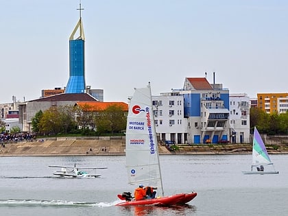
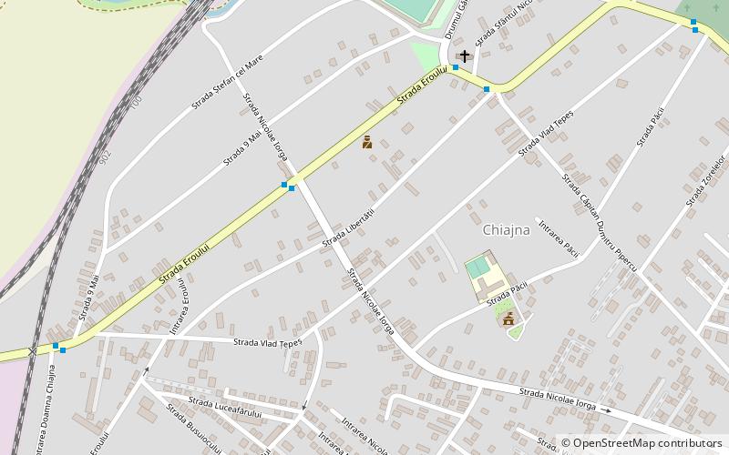
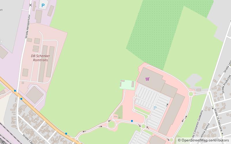
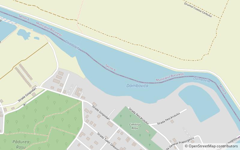
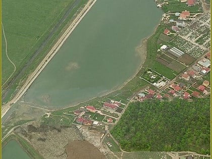
Dâmbovița Lake is a lake situated on Dâmbovița River in Bucharest and Chiajna, west of Morii Lake and bordering that lake. It has an area of 55 ha. The lake is 3 km from the center of Bucharest and is located between Morii Lake to the east, Giulești district to the north, Chiajna commune and Roșu Forest to the south. ()
Local name: Lacul Dâmbovița Area: 135.91 acres (0.2124 mi²)Length: 656 ftWidth: 1312 ftMaximum depth: 13 ftElevation: 262 ft a.s.l.Coordinates: 44°27'30"N, 26°0'24"E
Address
Bucharest
ContactAdd
Social media
Add
Day trips
Lake Dâmbovița – popular in the area (distance from the attraction)
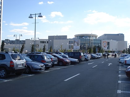
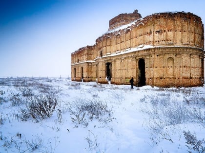
Nearby attractions include: Plaza Romania, AFI Palace Cotroceni, Chiajna Monastery, Lacul Morii.
Frequently Asked Questions (FAQ)
How to get to Lake Dâmbovița by public transport?
The nearest stations to Lake Dâmbovița:
Bus
Tram
Bus
- Eminescu • Lines: 434 (12 min walk)
- G-ral Praporgescu • Lines: 434 (13 min walk)
Tram
- Cartier 16 Februarie • Lines: 11, 44 (29 min walk)
- Depoul Giulești • Lines: 11, 44 (31 min walk)
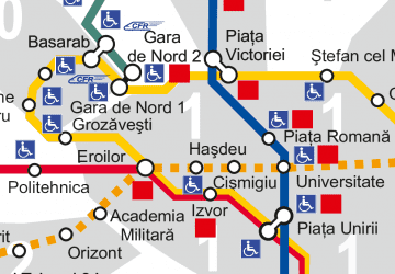 Metro
Metro