Piața Unirii, Bucharest
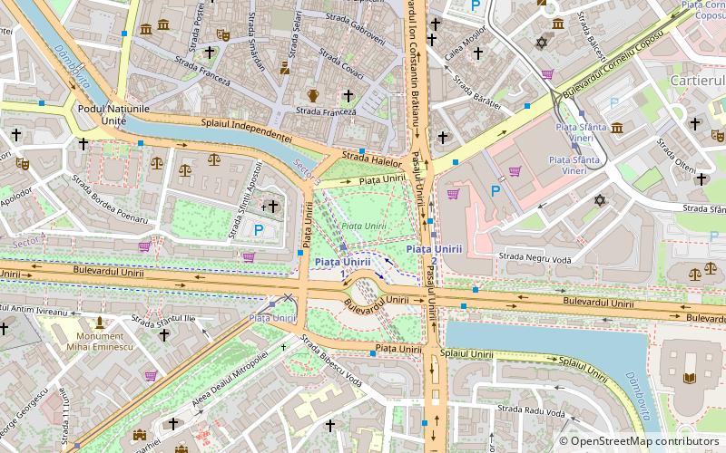
Map
Gallery
Facts and practical information
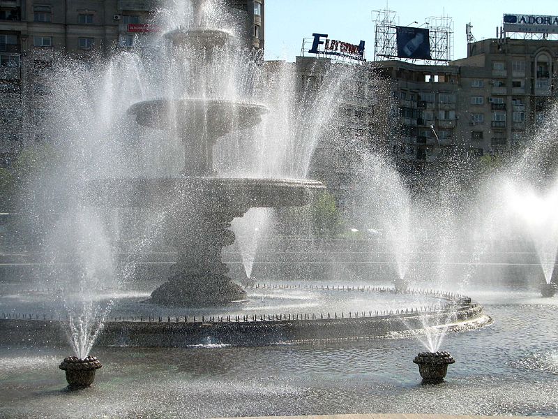
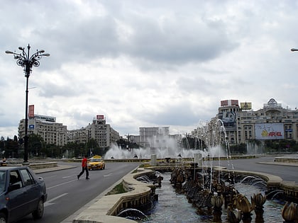
Piața Unirii is one of the largest squares in central Bucharest, Romania, located in the center of the city where Sectors 1, 2, 3, and 4 meet. Part of the Civic Centre, it is bisected by Unirii Boulevard, originally built during the Communist era as the Boulevard of the Victory of Socialism, and renamed after the Romanian Revolution. ()
Address
Sector 5 (Centrul Civic)Bucharest
ContactAdd
Social media
Add
Day trips
Piața Unirii – popular in the area (distance from the attraction)
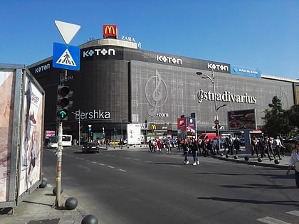
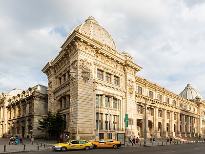
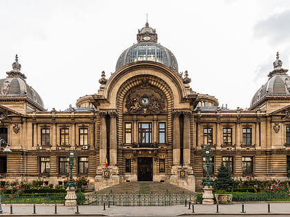
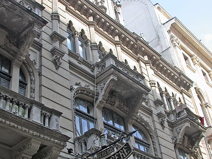
Nearby attractions include: Unirea Shopping Center, National Museum of Romanian History, CEC Palace, Caru' cu Bere.
Frequently Asked Questions (FAQ)
Which popular attractions are close to Piața Unirii?
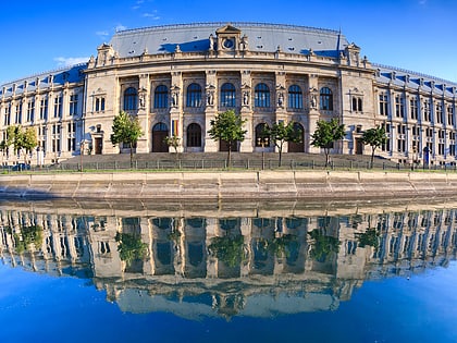
Nearby attractions include Palace of Justice, Bucharest (5 min walk), Curtea Veche, Bucharest (6 min walk), Walk of Fame Bucharest, Bucharest (6 min walk), Bucharest Bărăția, Bucharest (7 min walk).
How to get to Piața Unirii by public transport?
The nearest stations to Piața Unirii:
Metro
Bus
Tram
Trolleybus
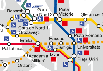
Metro
- Piața Unirii 1 • Lines: M1, M3 (1 min walk)
- Piața Unirii 2 • Lines: M2 (3 min walk)
Bus
- Piața Unirii 1 • Lines: 104, 116, 117, 123, 312, 313, 783 (3 min walk)
- Piața Unirii • Lines: 104, 117, 123, 232, 385 (4 min walk)
Tram
- Piața Unirii • Lines: 27, 32, 47, 7 (4 min walk)
- Piața Sfânta Vineri • Lines: 14, 40, 55 (7 min walk)
Trolleybus
- Piața Unirii • Lines: 73, 74, 76 (7 min walk)
- University • Lines: 61, 66, 69, 70, 85, 90 (13 min walk)
 Metro
Metro