Grădina Icoanei, Bucharest
Map
Map

Facts and practical information
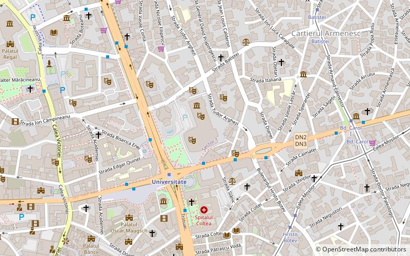
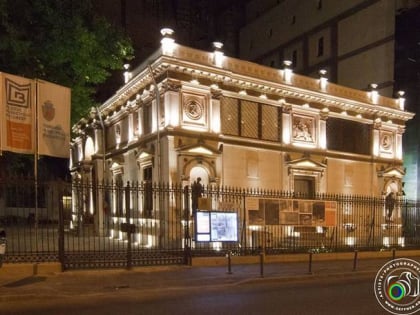
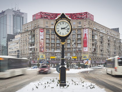
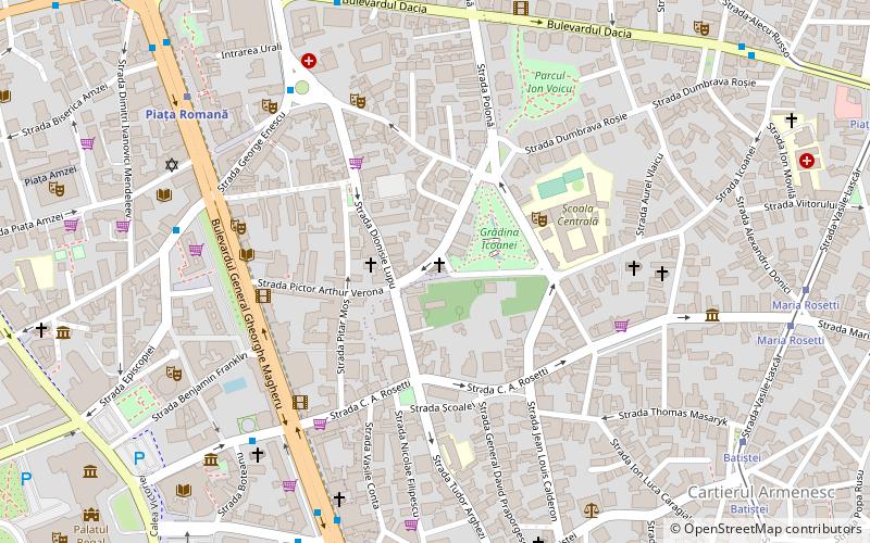
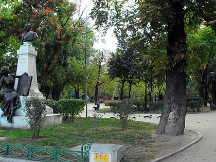
Grădina Icoanei is a small park in central Bucharest, situated not far away from Piața Romană and Bulevardul Magheru. The park, located next to Gheorghe Cantacuzino Plaza in Sector 2 of the city, was inaugurated in 1873. ()
Alternative names: Established: 1873 (153 years ago)Elevation: 272 ft a.s.l.Coordinates: 44°26'34"N, 26°6'9"E
Address
Strada IcoaneiSector 2 (Centru)Bucharest 030167
Contact
+40 741 130 968
Social media
Add
Day trips
Grădina Icoanei – popular in the area (distance from the attraction)
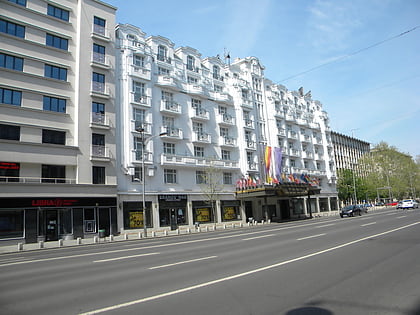
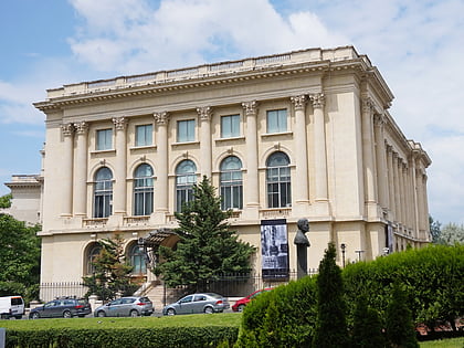
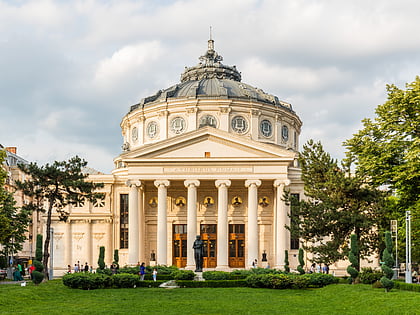
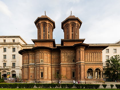
Nearby attractions include: Bulevardul Magheru, National Museum of Art of Romania, Ateneul Roman, Kretzulescu Church.
Frequently Asked Questions (FAQ)
Which popular attractions are close to Grădina Icoanei?
Nearby attractions include Anglican Church, Bucharest (1 min walk), Dimitrie Sturdza House, Bucharest (4 min walk), Statue of Ion Luca Caragiale, Bucharest (5 min walk), Bulevardul Magheru, Bucharest (6 min walk).
How to get to Grădina Icoanei by public transport?
The nearest stations to Grădina Icoanei:
Bus
Trolleybus
Metro
Tram
Bus
- Piața Lahovari • Lines: 301, 331 (6 min walk)
- Bd. Nicolae Bălcescu • Lines: 122, 137, 168, 226, 368, 381 (7 min walk)
Trolleybus
- Liceul Ec. Virgil Madgearu • Lines: 79, 86 (8 min walk)
- Piața Spaniei • Lines: 79, 86 (10 min walk)
Metro
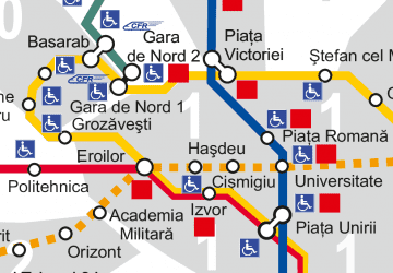
- Piața Romană • Lines: M2 (8 min walk)
- Universitate • Lines: M2 (13 min walk)
Tram
- Batiștei • Lines: 16, 5 (10 min walk)
- Maria Rosetti • Lines: 16, 5 (10 min walk)
 Metro
Metro