Cotroceni, Bucharest
Map
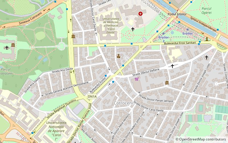
Map

Facts and practical information
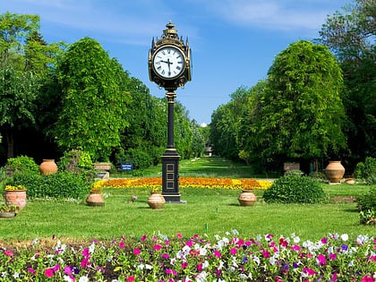
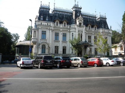
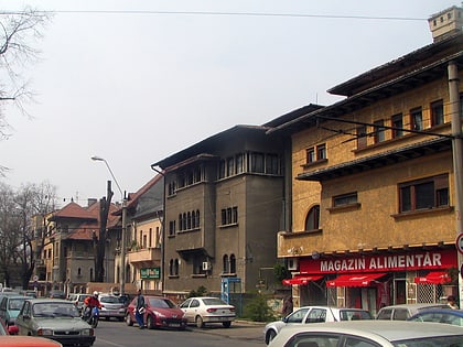
Cotroceni is a neighbourhood in western Bucharest, Romania located around the Cotroceni hill, in Bucharest's Sector 5. ()
Address
Sector 5 (Cotroceni)Bucharest
ContactAdd
Social media
Add
Day trips
Cotroceni – popular in the area (distance from the attraction)
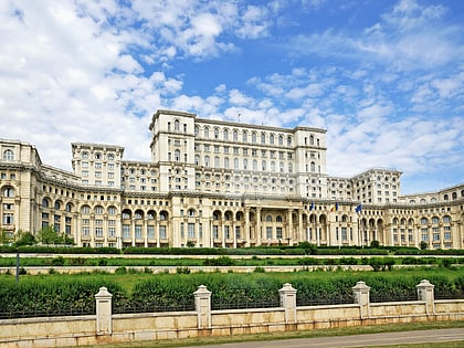
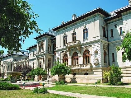
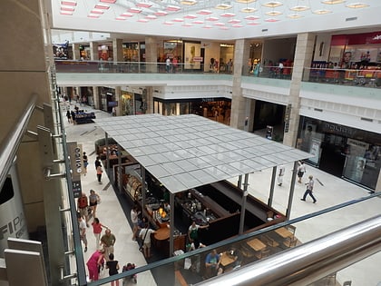
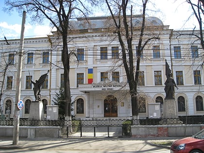
Nearby attractions include: Palace of the Parliament, Cotroceni Palace, AFI Palace Cotroceni, National Military Museum.
Frequently Asked Questions (FAQ)
Which popular attractions are close to Cotroceni?
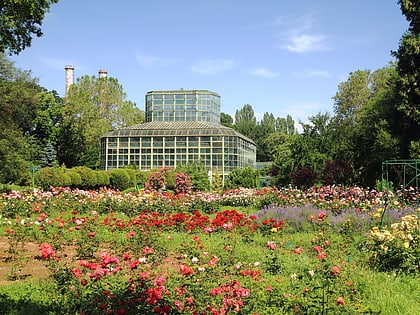
Nearby attractions include Ivan Gallery, Bucharest (9 min walk), "Dimitrie Brandza" Botanic Garden, Bucharest (9 min walk), New St. Eleftherios Church, Bucharest (9 min walk), Cotroceni Palace, Bucharest (10 min walk).
How to get to Cotroceni by public transport?
The nearest stations to Cotroceni:
Bus
Trolleybus
Metro
Tram
Train
Bus
- Carol Davila • Lines: 122, 137, 168, 196, 226, 368 (1 min walk)
- Facultatea de Medicină • Lines: 336 (3 min walk)
Trolleybus
- Facultatea de Medicină • Lines: 61, 69, 90 (4 min walk)
- Bd. Dr. Marinescu • Lines: 61, 69, 90 (8 min walk)
Metro
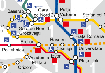
- Eroilor 2 • Lines: M5 (7 min walk)
- Eroilor • Lines: M1, M3 (8 min walk)
Tram
- Piața Danny Huwé • Lines: 1, 10, 11, 25, 8 (13 min walk)
- Cartier Panduri • Lines: 1, 10, 11, 25, 8 (15 min walk)
Train
- Bucharest Gara de Nord (25 min walk)
 Metro
Metro