Argidava

Map
Facts and practical information
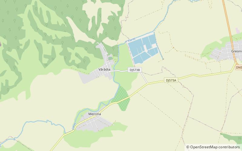
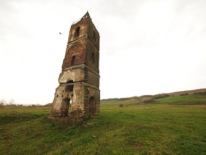
Argidava was a Dacian fortress town close to the Danube, inhabited and governed by the Albocense. Located in today's Vărădia, Caraș-Severin County, Romania. ()
Local name: ArcidavaCoordinates: 45°4'45"N, 21°33'6"E
Location
Caraș-Severin
ContactAdd
Social media
Add
Day trips
Argidava – popular in the area (distance from the attraction)
Nearby attractions include: Grădinari Hill Tower.
