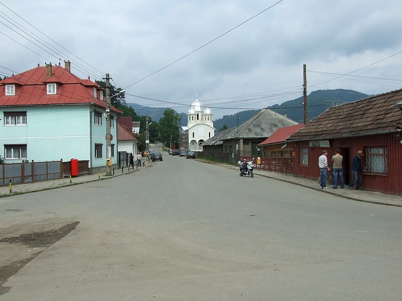
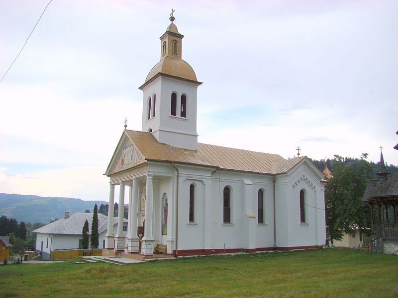
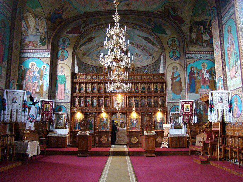
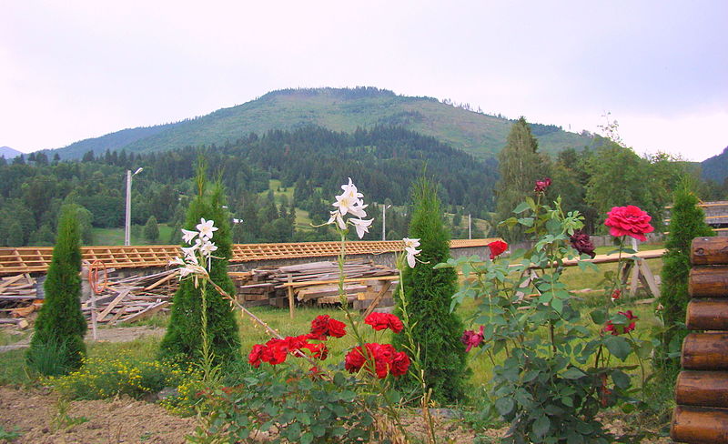
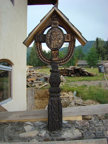
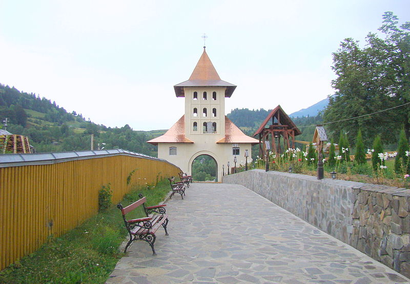
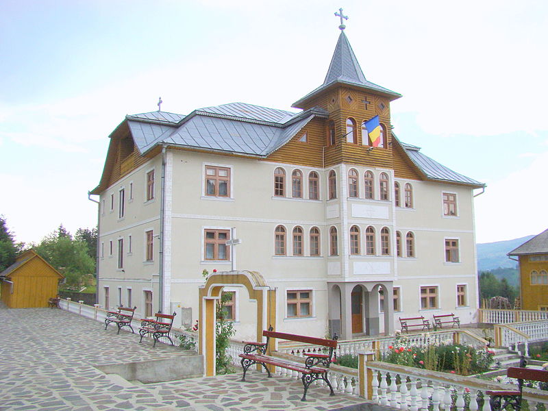
Mănăstirea Moisei

Gallery (9)
Map

Map

Gallery
Facts and practical information
Mănăstirea Moisei is a place located in Romania and belongs to the category of church.
It is situated at an altitude of 2280 feet, and its geographical coordinates are 47°38'8"N latitude and 24°32'47"E longitude.
Among other places and attractions worth visiting in the area are: Pietrosul RodneiRodna Mountains National Park (nature, 124 min walk), Vișeu de Sus (town, 188 min walk).
Coordinates: 47°38'8"N, 24°32'47"E
Location
Maramureș
ContactAdd
Social media
Add
Day trips