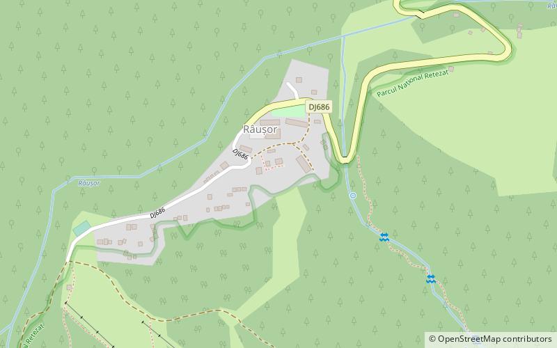
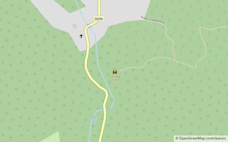
Colț Citadel, Râu de Mori
Map
Facts and practical information
Colț Citadel is a place located in Râu de Mori (Hunedoara county) and belongs to the category of ruins, forts and castles.
It is situated at an altitude of 2274 feet, and its geographical coordinates are 45°28'42"N latitude and 22°52'27"E longitude.
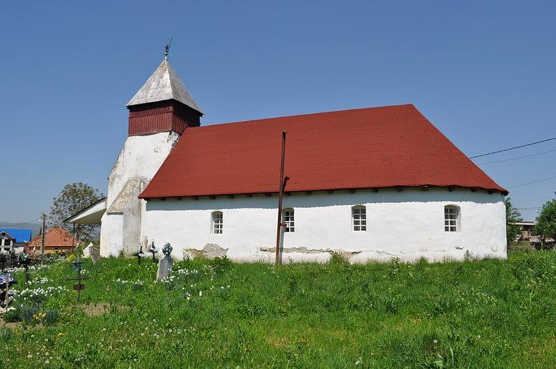
Among other places and attractions worth visiting in the area are: Colț Monastery (church, 5 min walk), Râu de Mori Orthodox Church (church, 39 min walk), Retezat Adventure Park, Retezat National Park (amusement, 113 min walk).
Coordinates: 45°28'42"N, 22°52'27"E
Address
Râu de Mori
ContactAdd
Social media
Add
Day trips