Gyûjtemények Háza, Târgu Secuiesc
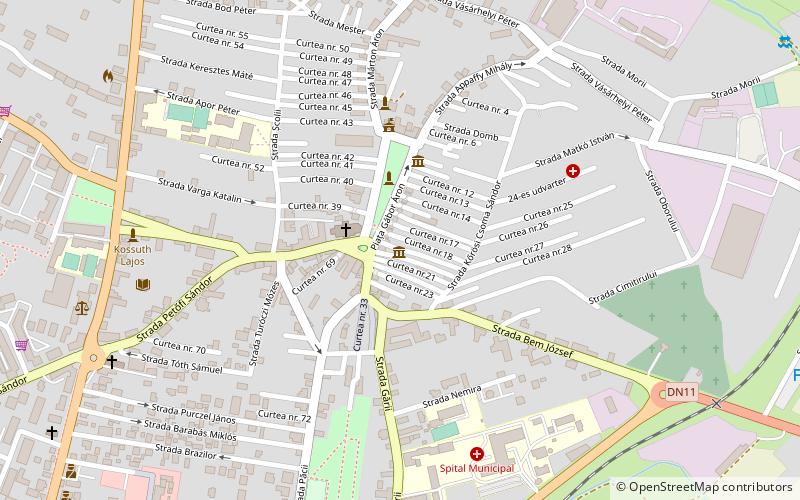
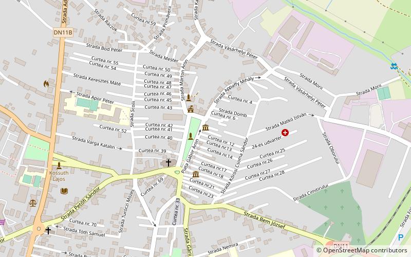
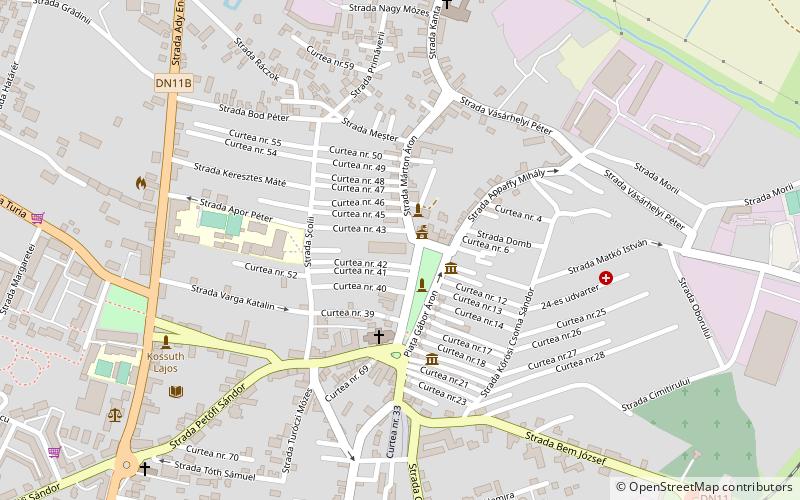
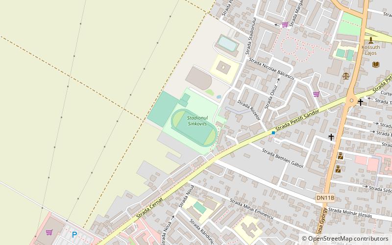
Map
Facts and practical information
Gyûjtemények Háza is a place located in Târgu Secuiesc (Covasna county) and belongs to the category of museum.
It is situated at an altitude of 1877 feet, and its geographical coordinates are 46°0'3"N latitude and 26°8'17"E longitude.
Among other places and attractions worth visiting in the area are: "Incze László Guilds' Museum (museum, 3 min walk), Vigadó Mûvelõdési Ház (concerts and shows, 3 min walk), Molnár Józsiás (park, 7 min walk).
Coordinates: 46°0'3"N, 26°8'17"E
Address
Târgu Secuiesc
ContactAdd
Social media
Add
Day trips
Frequently Asked Questions (FAQ)
Which popular attractions are close to Gyûjtemények Háza?
Nearby attractions include "Incze László Guilds' Museum, Târgu Secuiesc (3 min walk), Vigadó Mûvelõdési Ház, Târgu Secuiesc (3 min walk), Molnár Józsiás, Târgu Secuiesc (7 min walk).