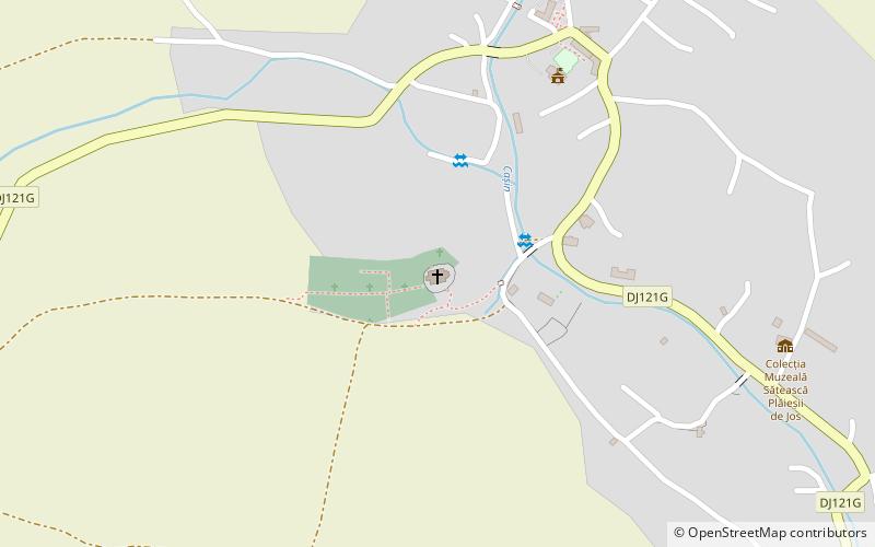
Krisztus Király templom
Map

Map

Facts and practical information
The Roman Catholic church in Plăieșii de Jos, Harghita county, was built in the 15th century. The church is on the list of historical monuments 2010, code LMI HR-II-a-A-12926.
Coordinates: 46°13'20"N, 26°5'46"E
Location
Harghita
ContactAdd
Social media
Add
