Grivița, Bucharest
Map
Facts and practical information
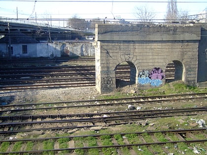
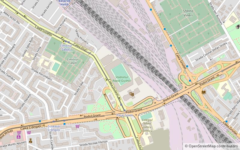
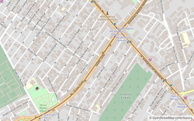
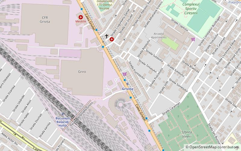
Grivița is an area of Bucharest, Romania, centered on the Grivița Railway Yards, which were and still are an important landmark within the manufacturing landscape of the city. Located near Gara de Nord, their history dates back to the late decades of the 19th century, when they were developed in order to perform maintenance and overhaul of railway equipment serving Căile Ferate Române. ()
Coordinates: 44°27'44"N, 26°3'25"E
Address
Sector 1 (Grivita)Bucharest
ContactAdd
Social media
Add
Day trips
Grivița – popular in the area (distance from the attraction)
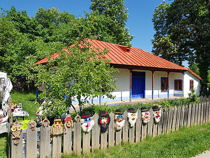
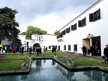
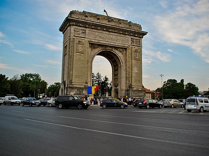
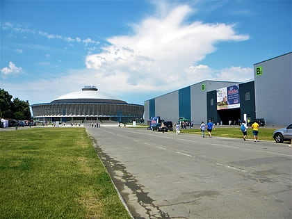
Nearby attractions include: Village Museum, Elisabeta Palace, Arcul de Triumf, Romexpo.
Frequently Asked Questions (FAQ)
Which popular attractions are close to Grivița?
Nearby attractions include Podul Grant, Bucharest (15 min walk), Giulești, Bucharest (16 min walk), Crângași, Bucharest (18 min walk).
How to get to Grivița by public transport?
The nearest stations to Grivița:
Metro
Trolleybus
Bus
Train
Tram
Metro
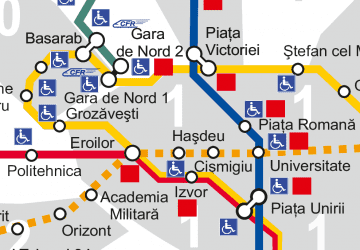
- Grivița • Lines: M4 (1 min walk)
- 1 Mai • Lines: M4 (17 min walk)
Trolleybus
- Griro • Lines: 65, 86, 97 (2 min walk)
- Feroviarilor • Lines: 65, 86, 97 (4 min walk)
Bus
- Griro • Lines: 105 (2 min walk)
- Feroviarilor • Lines: 105 (4 min walk)
Train
- București Grivița (7 min walk)
- București Basarab Haltă (17 min walk)
Tram
- Cimitirul Calvin • Lines: 11, 44 (10 min walk)
- Aviator Popișteanu • Lines: 24, 45 (12 min walk)
 Metro
Metro