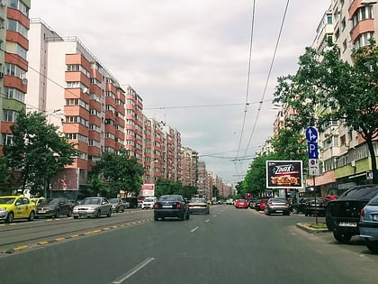
Iancului, Bucharest
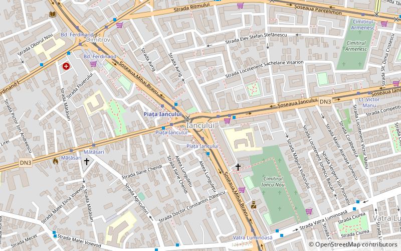
Map
Facts and practical information
Iancului is the name of a district in Sector 2 situated in the northeastern part of Bucharest, the capital of Romania. Piața Iancului is also the name of an intersection in the same district, and has a connection to the Piața Iancului metro station. The name "Iancu" comes from a Romanian revolutionary, Avram Iancu. ()
Coordinates: 44°26'28"N, 26°8'2"E
Address
Sector 2 (Vatra Luminoasă)Bucharest
ContactAdd
Social media
Add
Day trips
Iancului – popular in the area (distance from the attraction)
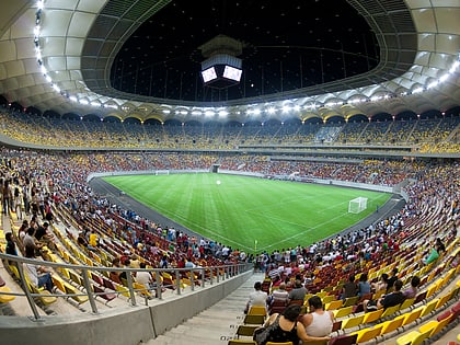
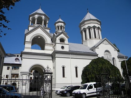
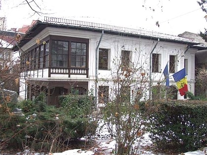
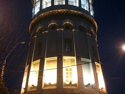
Nearby attractions include: National Arena, Armenian Church, Circul Globus, Theodor Pallady Museum.
Frequently Asked Questions (FAQ)
Which popular attractions are close to Iancului?
Nearby attractions include Obor, Bucharest (15 min walk), Parcul Obor, Bucharest (16 min walk), Foișorul de Foc, Bucharest (17 min walk), Anca Poterasu Gallery, Bucharest (19 min walk).
How to get to Iancului by public transport?
The nearest stations to Iancului:
Bus
Tram
Metro
Trolleybus
Train
Bus
- Piața Iancului • Lines: 135, 311, 330, 335 (1 min walk)
- Autogara CDI Ritmului (7 min walk)
Tram
- Piața Iancului • Lines: 1, 10, 46, 55 (1 min walk)
- Mătăsari • Lines: 55 (7 min walk)
Metro
- Piața Iancului • Lines: M1 (3 min walk)
- Piața Muncii • Lines: M1 (18 min walk)
Trolleybus
- Agricultori • Lines: 86, 90 (7 min walk)
- Șoseaua Mihai Bravu • Lines: 69, 85, 86, 90 (8 min walk)
Train
- Gara Obor (16 min walk)
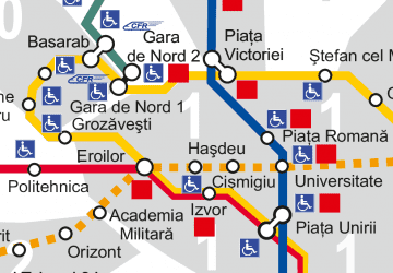 Metro
Metro