Măgura Uroiului, Simeria
Map

Map

Facts and practical information
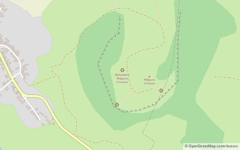
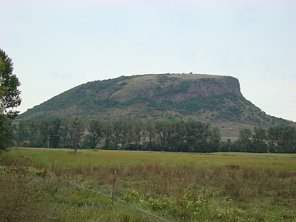
The Măgura Uroiului site is a Romanian multi-period archaeological site located on and around Uroi Hill, a 300 metres tall rock outcrop, with an escarpment facing the rivers Mureș and Strei and sloping on the back side. At the base on the escarpment are a series of plateaus. The site is located about 2 kilometres north of Simeria. 45°51′40″N 23°2′37″E ()
Coordinates: 45°51'39"N, 23°2'32"E
Address
Simeria
ContactAdd
Social media
Add
Day trips
Măgura Uroiului – popular in the area (distance from the attraction)
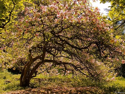
Nearby attractions include: Simeria Dendrological Park.

