Tipografilor, Timișoara
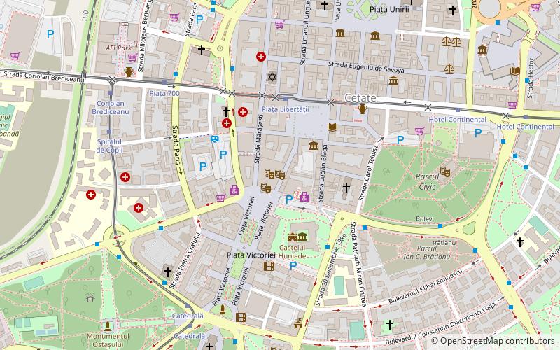
Map
Facts and practical information
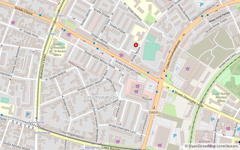
Tipografilor is a district of Timișoara. It was developed on the vacant lands in the vicinity and inside the interwar villa district, in close relation with the location of the printing house that also gave the name of the current Take Ionescu Boulevard. Most of the over 1,000 employees of the Banat Printing Company lived here. The company went bankrupt after 1989. The building of the former printing house was demolished in 2019; a mixed-use development with a 17-storey tower will be built in its place. ()
Coordinates: 45°45'38"N, 21°12'55"E
Address
Timișoara
ContactAdd
Social media
Add
Day trips
Tipografilor – popular in the area (distance from the attraction)
Nearby attractions include: Victory Square, Timișoara Orthodox Cathedral, Anton Scudier Central Park, Cathedral Park.
Frequently Asked Questions (FAQ)
Which popular attractions are close to Tipografilor?
Nearby attractions include Fructus Tower, Timișoara (8 min walk), Botanical Park, Timișoara (12 min walk), Timișoara 700 Square, Timișoara (13 min walk), Cetate Synagogue, Timișoara (15 min walk).
How to get to Tipografilor by public transport?
The nearest stations to Tipografilor:
Bus
Tram
Trolleybus
Train
Ferry
Bus
- Timiș • Lines: 13 (4 min walk)
- Calea Circumvalațiunii • Lines: 13 (4 min walk)
Tram
- Mendeleev • Lines: 4, 5, 7 (7 min walk)
- Circumvalațiunii • Lines: 4, 5, 7 (7 min walk)
Trolleybus
- Piața 700 • Lines: 11, 14, 18, M11, M14 (13 min walk)
- Piața Consiliul Europei • Lines: 14, 17, 18, M14 (14 min walk)
Train
- Timișoara Nord (20 min walk)
Ferry
- Sfânta Maria • Lines: V1 (20 min walk)
- Catedrala Mitropolitană • Lines: V1 (24 min walk)
