Castra of Ploiești, Ploiești
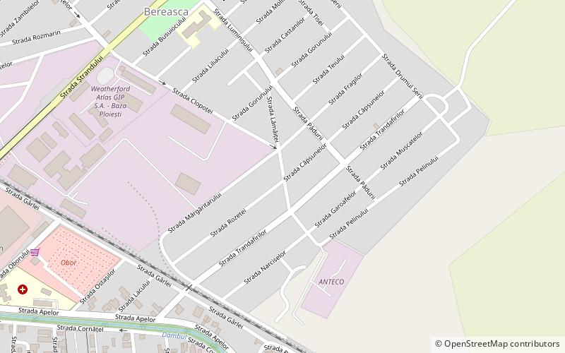
Map
Facts and practical information
The castra of Ploiești was a Roman fort built in the 2nd century AD. It was abandoned in the same century. Its ruins were unearthed in Ploiești. Currently, no remains are visible due to the area occupied by the castrum now being a residential area. However, some earthwork-like features can be seen in the uneven surfaces of the roads in the area, and a clearly visible terrace can be observed overlooking the Dâmbu brook, adjacent to the site. ()
Coordinates: 44°56'54"N, 26°2'52"E
Address
Ploiești
ContactAdd
Social media
Add
Day trips
Castra of Ploiești – popular in the area (distance from the attraction)
Nearby attractions include: Art Museum, Bucov, Ilie Oană Stadium, Astra Stadium.
Frequently Asked Questions (FAQ)
How to get to Castra of Ploiești by public transport?
The nearest stations to Castra of Ploiești:
Bus
Train
Tram
Bus
- Autogara (19 min walk)
Train
- Ploiești Est Post 1 (21 min walk)
- Ploiești Nord (28 min walk)
Tram
- Muzeul de Istorie • Lines: 101 (30 min walk)
- Hale • Lines: 101 (31 min walk)
