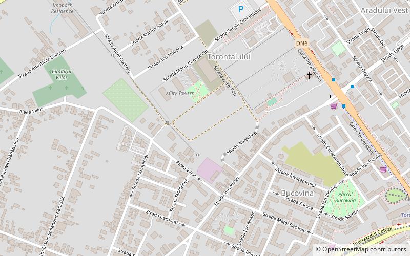
Torontalului, Timișoara
Map
Facts and practical information
Torontalului is a district in northwestern Timișoara. Its name comes from the homonymous road that crosses it. In turn, Torontal was the name of a county in the Kingdom of Hungary which, after being conquered, liberated and disputed by Turks, Serbs, Hungarians and Romanians, was divided between the last three, a small part entering Timiș-Torontal County, an administrative unit in the Kingdom of Romania. Torontalului experienced a strong development in the 2010s, many of Timișoara's real estate projects from this period being located here. ()
Coordinates: 45°46'17"N, 21°12'39"E
Address
Timișoara
ContactAdd
Social media
Add
Getting there by public transportation
Public transportation stops near this location
- Bus
- Trolleybus
- Tram
 Bus
Bus
- Calculate routeCalea Torontalului 8 min walk
- Calculate routeVox Park 8 min walk
- Calculate routeLiege 8 min walk
- Calculate routeGrigore Alexandrescu 11 min walk
- Calculate routeCalea Torontalului 8 min walk
- Calculate routeMiresei 13 min walk
- Calculate routePiața Verde 14 min walk
- Calculate routeRemus Răduleț 15 min walk
- Calculate routeMatei Basarab 10 min walk
- Calculate routeAmforei 11 min walk
- Calculate routeTorontalului 12 min walk
- Calculate routeCetății 15 min walk
Day trips


Frequently Asked Questions (FAQ)
Which popular attractions are close to Torontalului?
Nearby attractions include Aradului, Timișoara (12 min walk), Mehala, Timișoara (16 min walk), Tipografilor, Timișoara (21 min walk), Banat University of Agricultural Sciences and Veterinary Medicine, Timișoara (21 min walk).
How to get to Torontalului by public transport?
The nearest stations to Torontalului:
Bus
Trolleybus
Tram
Bus
- Calea Torontalului • Lines: E1, E6 (8 min walk)
- Vox Park • Lines: E6 (8 min walk)
Trolleybus
- Calea Torontalului • Lines: 18 (8 min walk)
- Miresei • Lines: 18 (13 min walk)
Tram
- Matei Basarab • Lines: 4, 7 (10 min walk)
- Amforei • Lines: 4, 7 (11 min walk)