Girocului, Timișoara
Map
Facts and practical information
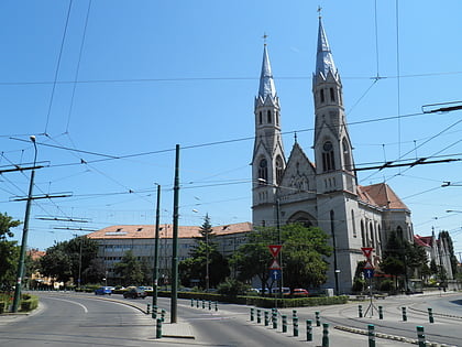
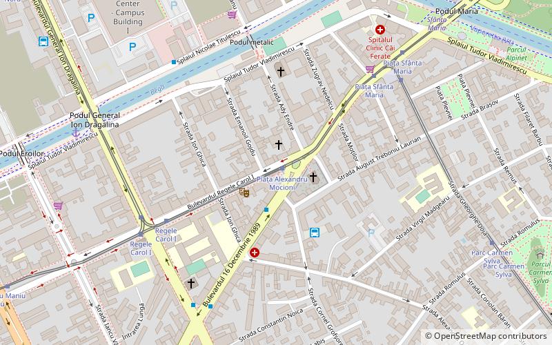
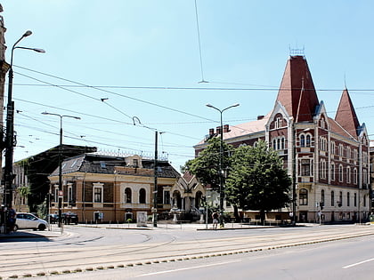
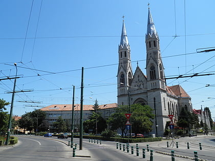
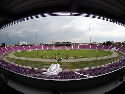
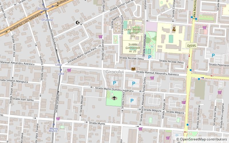
Girocului, also known as Martirilor, is a district in southern Timișoara. It was built between 1970 and 1985, as a consequence of the urban systematization carried out by the Communist Party, which aimed at increasing the population of Timișoara. Its name comes from the village to which the road that crosses it is heading. In fact, as a result of the urban development over the past two decades, Giroc has virtually become a suburb of Timișoara. ()
Coordinates: 45°43'55"N, 21°13'55"E
Address
Timișoara
ContactAdd
Social media
Add
Day trips
Girocului – popular in the area (distance from the attraction)
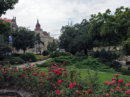
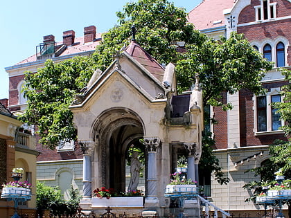
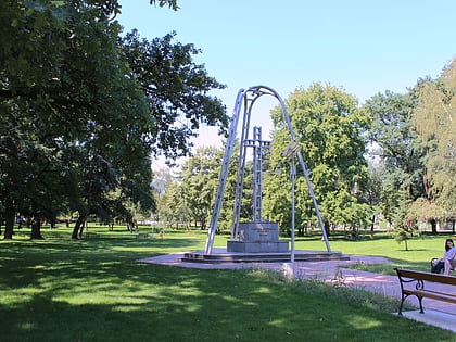
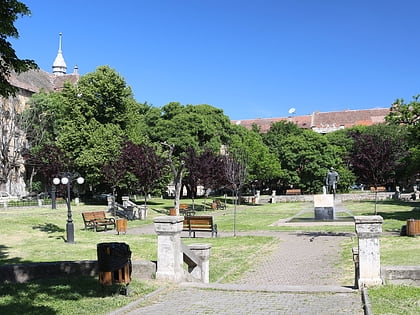
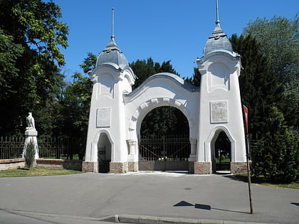
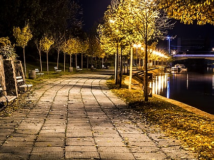
Nearby attractions include: Alpinet Park, Virgin Mary Monument, Justice Park, Nicolae Bălcescu Square.
Frequently Asked Questions (FAQ)
Which popular attractions are close to Girocului?
Nearby attractions include Plăvăț, Timișoara (5 min walk), Soarelui, Timișoara (8 min walk), Elisabetin, Timișoara (19 min walk), Nicolae Bălcescu Square, Timișoara (19 min walk).
How to get to Girocului by public transport?
The nearest stations to Girocului:
Tram
Trolleybus
Bus
Ferry
Tram
- Lidia • Lines: 7 (6 min walk)
- Mureș • Lines: 7 (8 min walk)
Trolleybus
- Strada Mareșal Constantin Prezan • Lines: 15 (7 min walk)
- Martir Ioan Stanciu • Lines: 15 (9 min walk)
Bus
- Strada Mareșal Constantin Prezan • Lines: E3, Giroc => Timișoara (8 min walk)
- Martir Ioan Stanciu • Lines: E3, Giroc => Timișoara, Timișoara => Giroc (9 min walk)
Ferry
- Catedrala Mitropolitană • Lines: V1 (31 min walk)
- Ștefan cel Mare • Lines: V1 (39 min walk)
