Olteniței, Bucharest
Map
Facts and practical information
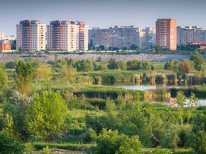
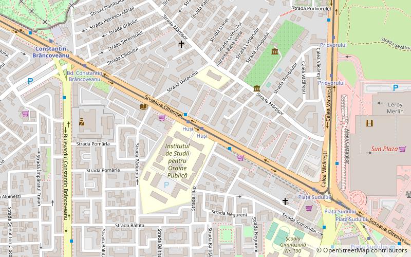
Olteniței is a quarter in Bucharest's Sector 4, in the southern part of the city. A subdivision of Berceni, it gained its current form in the 1980s, when apartment buildings were constructed over old houses that were demolished. Most of these buildings are known as "Type 772", a modular prefabricated panel design that was very popular in the 1980s in Romania. ()
Coordinates: 44°23'46"N, 26°6'56"E
Address
Sector 4 (Berceni)Bucharest
ContactAdd
Social media
Add
Day trips
Olteniței – popular in the area (distance from the attraction)
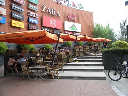
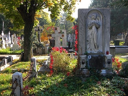
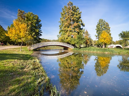
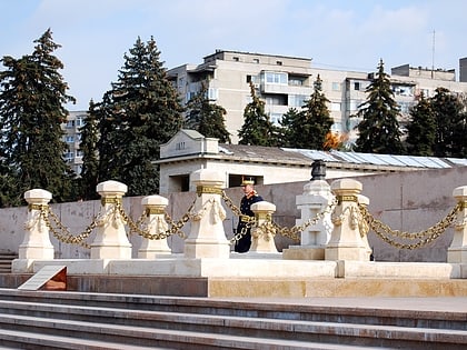
Nearby attractions include: Sun Plaza, Bellu Cemetery, Tineretului Park, Tomb of the Unknown Soldier.
Frequently Asked Questions (FAQ)
Which popular attractions are close to Olteniței?
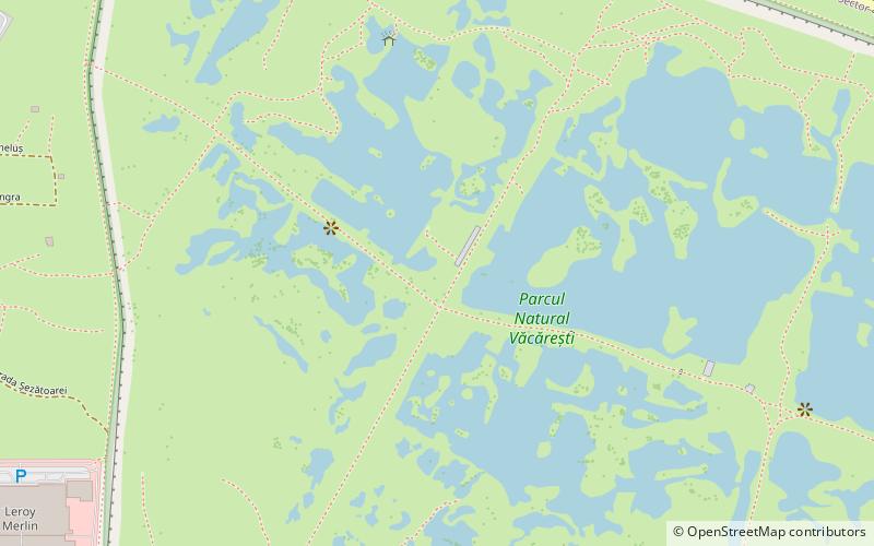
Nearby attractions include Berceni, Bucharest (17 min walk), "George and Agatha Bacovia" Memorial House, Bucharest (19 min walk), Tineretului Park, Bucharest (20 min walk), Văcărești, Bucharest (22 min walk).
How to get to Olteniței by public transport?
The nearest stations to Olteniței:
Bus
Tram
Trolleybus
Metro
Bus
- Huși • Lines: 232 (1 min walk)
- Bd. Constantin Brâncoveanu • Lines: 116, 141, 232 (8 min walk)
Tram
- Huși • Lines: 1, 10 (1 min walk)
- Pridvorului • Lines: 1, 10 (8 min walk)
Trolleybus
- Șoseaua Olteniței • Lines: 73, 74, 76 (8 min walk)
- Piața Sudului • Lines: 73, 74, 76 (9 min walk)
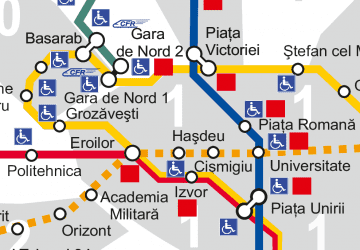
Metro
- Constantin Brâncoveanu • Lines: M2 (10 min walk)
- Piața Sudului • Lines: M2 (11 min walk)
 Metro
Metro