Zorilor, Cluj-Napoca
Map

Map

Facts and practical information
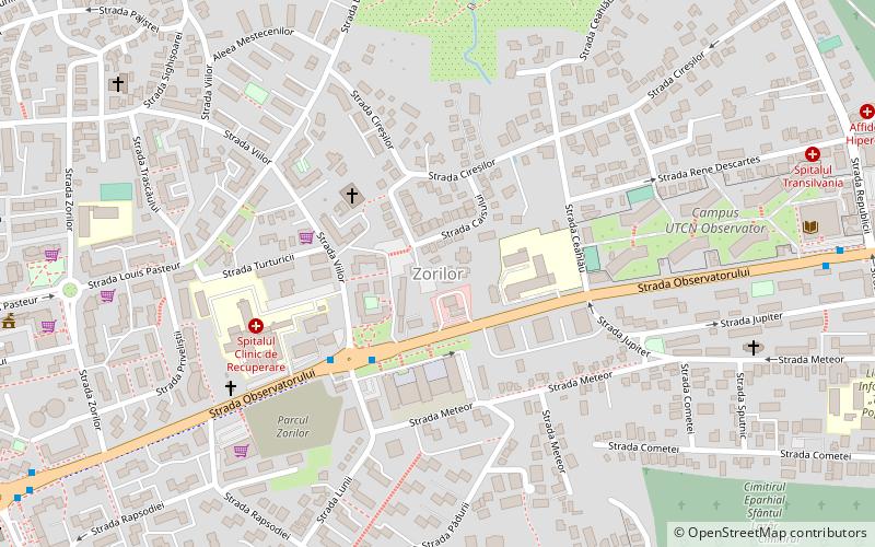
Zorilor is a southern district of Cluj-Napoca in Romania. It consists largely of blocks of flats ranging from 4 to 10 storeys. The district is home to the Observator student housing campus. Two 35-floor towers are projected to be constructed in the Sigma area of Zorilor. ()
Address
Cluj-Napoca
ContactAdd
Social media
Add
Day trips
Zorilor – popular in the area (distance from the attraction)
Nearby attractions include: St. Michael's Church, Cluj-Napoca Botanical Garden, BTarena, National Art Museum.
Frequently Asked Questions (FAQ)
Which popular attractions are close to Zorilor?
Nearby attractions include Iuliu Hațieganu University of Medicine and Pharmacy, Cluj-Napoca (12 min walk), Cluj-Napoca Botanical Garden, Cluj-Napoca (13 min walk), Central Cemetery, Cluj-Napoca (16 min walk), Zoological Museum of the "Babes-Bolyai" University, Cluj-Napoca (17 min walk).
How to get to Zorilor by public transport?
The nearest stations to Zorilor:
Bus
Trolleybus
Tram
Bus
- Spital Recuperare Sud • Lines: 35, 43, 43B, 43P, 45, 46, 46B, 50 (3 min walk)
- Spital Recuperare Nord • Lines: 35, 43, 43B, 43P, 46, 46B, 50 (4 min walk)
Trolleybus
- Calea Moților • Lines: 1, 25, 6, 7 (21 min walk)
- Spitalul de copii • Lines: 1, 25, 6, 7 (21 min walk)
Tram
- Splaiul Independenței • Lines: 101, 102 (29 min walk)
- Cluj Arena • Lines: 101, 102 (29 min walk)


