Castra of Tirighina-Bărboși, Galați
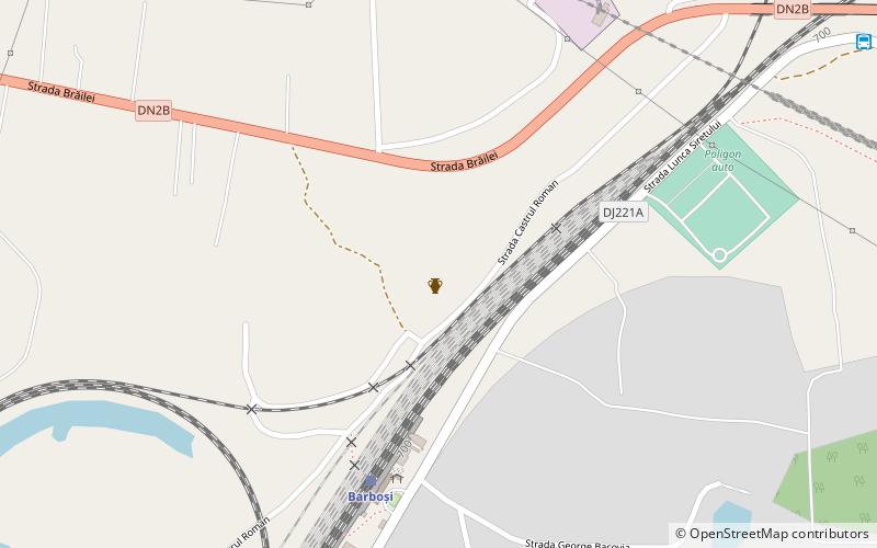
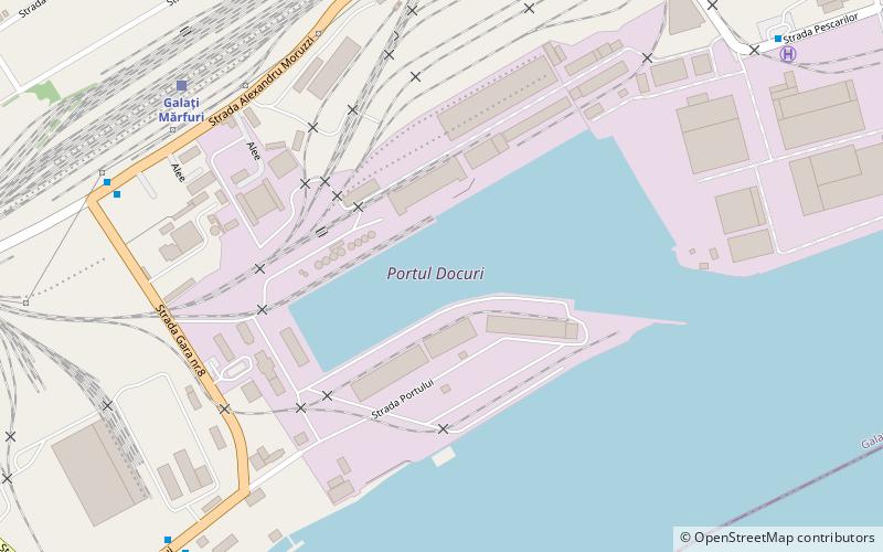
Map
Facts and practical information
It was a fort in the Roman province of Moesia. Here were found coins dating from the rule of Augustus through to Nero. ()
Local name: Castrul roman de la Tirighina-BărboșiCoordinates: 45°24'18"N, 27°59'23"E
Address
Galați
ContactAdd
Social media
Add
Day trips
Castra of Tirighina-Bărboși – popular in the area (distance from the attraction)
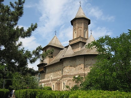
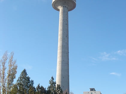
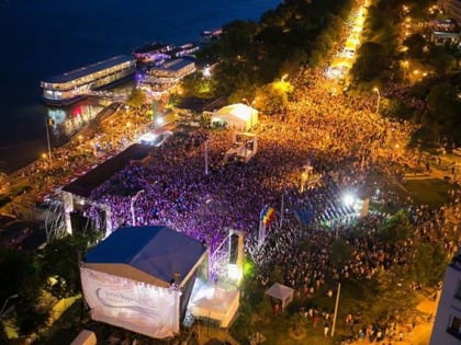
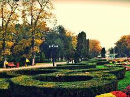
Nearby attractions include: Church of the Virgin Mary, Galați TV Tower, La elice, Grădina publică.
Frequently Asked Questions (FAQ)
How to get to Castra of Tirighina-Bărboși by public transport?
The nearest stations to Castra of Tirighina-Bărboși:
Train
Bus
Trolleybus
Train
- Barboși (6 min walk)
Bus
- Autogara Dunărea 2 (26 min walk)
- Cimitirul Cătușa” • Lines: 105, 29 (26 min walk)
Trolleybus
- Service Vechi stop • Lines: 102 (36 min walk)
- Neacșu • Lines: 102 (36 min walk)
