Vodootvodny Canal, Moscow
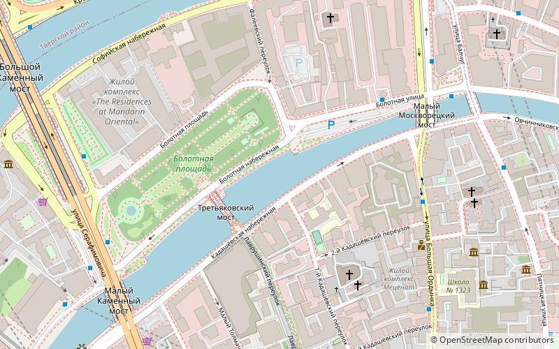
Map
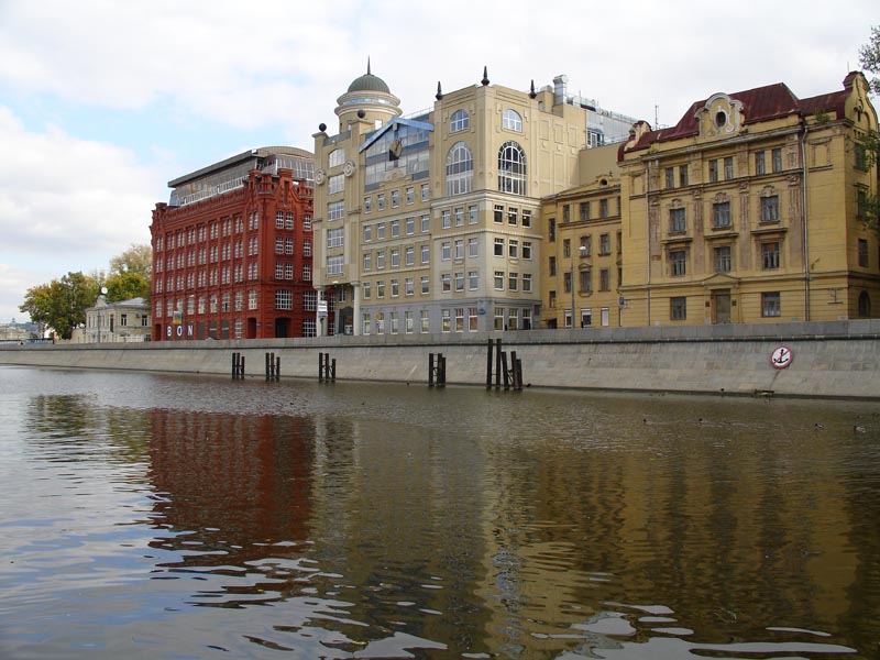
Gallery
Facts and practical information
Vodootvodny Canal is a 4 kilometre long, 30-60 metre wide canal in downtown Moscow, Russia. It was built in the 1780s on the old riverbed of the Moskva River to control floods and support shipping. Canal construction created an island between the Moskva River and the canal. The island acquired its present shape in 1938 with the completion of Moscow Canal megaproject. The canal is spanned by ten bridges; the eleventh is now under construction. ()
Address
Центральный административный ок (Якиманка)Moscow
ContactAdd
Social media
Add
Day trips
Vodootvodny Canal – popular in the area (distance from the attraction)
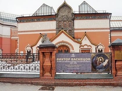
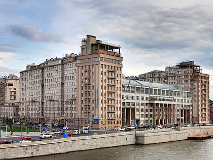
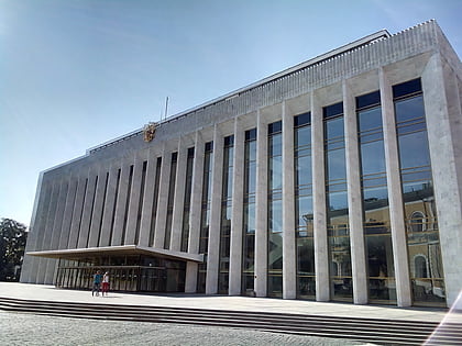
Nearby attractions include: Tretyakov Gallery, Grand Kremlin Palace, House on the Embankment, Cathedral of the Archangel.
Frequently Asked Questions (FAQ)
Which popular attractions are close to Vodootvodny Canal?
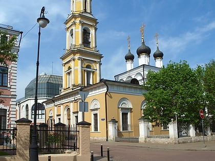
Nearby attractions include Bolotnaya Square, Moscow (3 min walk), House of Gusiatnikovs, Moscow (4 min walk), Kadashi Church, Moscow (4 min walk), House of Lobkov on the Sophia Embankment, Moscow (6 min walk).
How to get to Vodootvodny Canal by public transport?
The nearest stations to Vodootvodny Canal:
Bus
Metro
Tram
Train
Bus
- улица Балчуг • Lines: с920 (6 min walk)
- Большой Москворецкий мост • Lines: с920 (6 min walk)
Metro
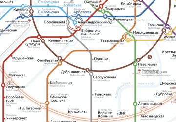
- Tretyakovskaya • Lines: 8 (10 min walk)
- Novokuznetskaya (11 min walk)
Tram
- Метро Новокузнецкая • Lines: 3, 39, А (11 min walk)
- Комиссариатский мост • Lines: 3, 39, А (15 min walk)
Train
- Moscow Paveletsky railway station (35 min walk)

 Metro
Metro