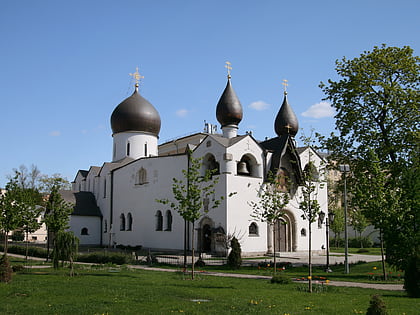
Balchug, Moscow
Map
Gallery
Facts and practical information
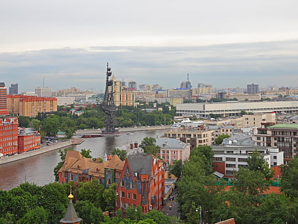
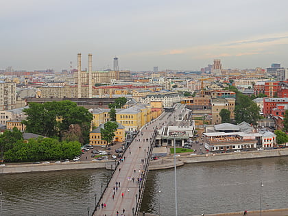
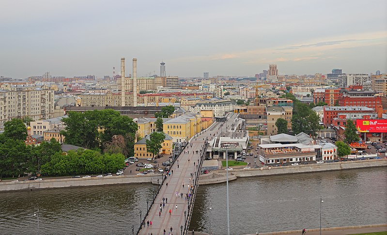
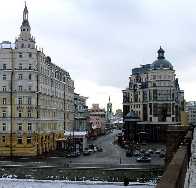
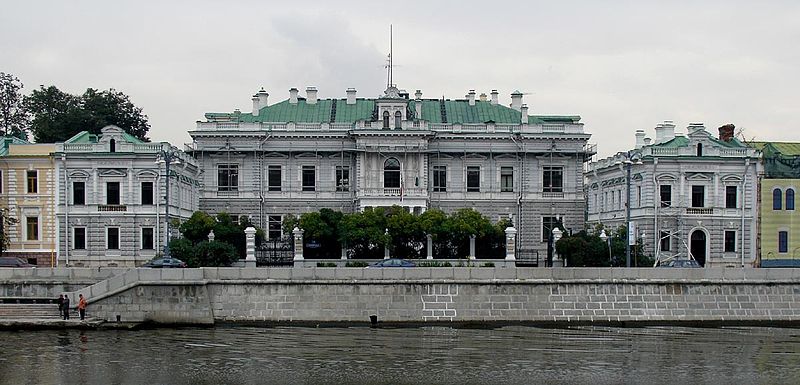
Island is an area in Moscow. It is made up of an artificial island and is located right across from the Kremlin between the Moskva River and its old riverbed, which was turned into the Vodootvodny Canal in 1786. It does not have any historical, official or established name. In the relevant sources it is referred to simply as the Island. ()
Address
Центральный административный ок (Якиманка)Moscow
ContactAdd
Social media
Add
Day trips
Balchug – popular in the area (distance from the attraction)
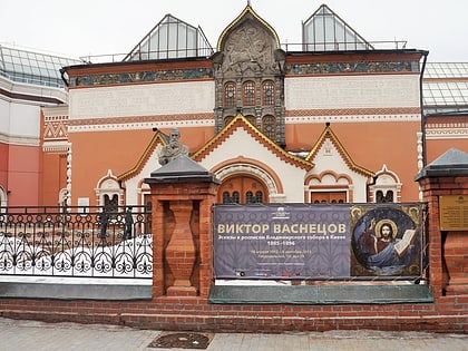
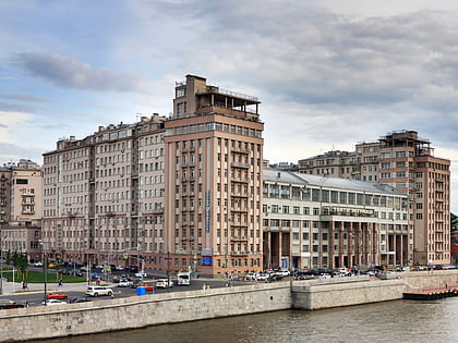
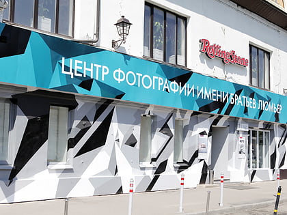
Nearby attractions include: Tretyakov Gallery, Moscow Kremlin Museums, House on the Embankment, The Lumiere Brothers Center for Photography.
Frequently Asked Questions (FAQ)
Which popular attractions are close to Balchug?
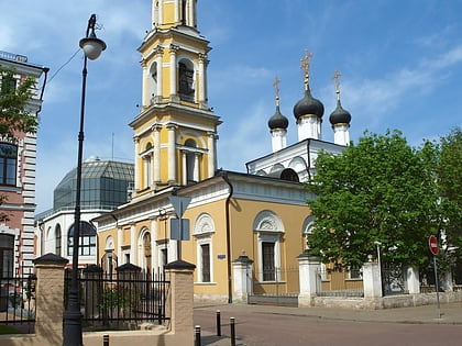
Nearby attractions include House of Gusiatnikovs, Moscow (4 min walk), Tretyakov Gallery, Moscow (4 min walk), Church of St. Nicholas, Moscow (5 min walk), Bolotnaya Square, Moscow (5 min walk).
How to get to Balchug by public transport?
The nearest stations to Balchug:
Bus
Metro
Tram
Train
Bus
- Болотная площадь • Lines: 144, м1, Н11, с920 (3 min walk)
- Большая Якиманка • Lines: 144, 297, м1, М16, Н11, с920 (6 min walk)
Metro
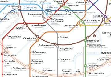
- Polyanka (8 min walk)
- Tretyakovskaya • Lines: 8 (11 min walk)
Tram
- Метро Новокузнецкая • Lines: 3, 39, А (14 min walk)
- Комиссариатский мост • Lines: 3, 39, А (18 min walk)
Train
- Moscow Paveletsky railway station (34 min walk)



 Metro
Metro