Serebryany Bor Park, Moscow
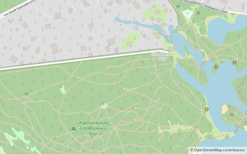
Map

Map

Facts and practical information
Serebryany Bor is a large forest park in north-west Moscow. The park is a natural monument of regional significance and a protected area of the city of Moscow. It poses an artificial island that was formed during the creation of the Khoroshevskoye spryamlenie canal. Serebryany Bor covers an area of 328.6 hectares. ()
Local name: Серебряный Бор Created: 17 October 1991Elevation: 469 ft a.s.l.Coordinates: 55°46'50"N, 37°25'4"E
Address
North-west Okrug,Khoroshevo-Mnevniki District, Cca. 3-ya Khoroshevskogo Serebryanogo Bora liniya, 76Северо-Западный административны (Хорошёво - Мнёвники)Moscow
Contact
Social media
Add
Day trips
Serebryany Bor Park – popular in the area (distance from the attraction)
Nearby attractions include: Zhivopisny Bridge, Ice Palace Krylatskoye, Krylatskoye District, Strogino District.
Frequently Asked Questions (FAQ)
How to get to Serebryany Bor Park by public transport?
The nearest stations to Serebryany Bor Park:
Bus
Bus
- Причал • Lines: 390, Т21 (11 min walk)
- 3-я линия • Lines: 390, Т21 (13 min walk)

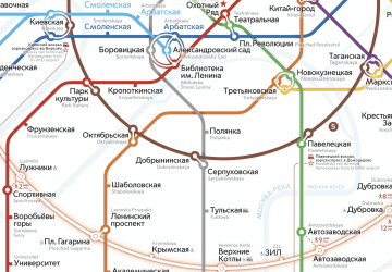
 Metro
Metro


