Strogino District, Moscow
Map

Map

Facts and practical information
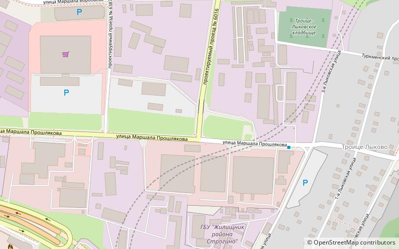
Strogino, formerly known as Ostrogino, is a district in North-Western Administrative Okrug of Moscow, Russia, located on the right bank of the Moskva River about 12 km west-northwest of central Moscow. An eponymous Moscow Metro station Strogino on the Arbatsko-Pokrovskaya Line was opened here on January 7, 2008. The Moscow Ring Road runs down the western border, and the Moskva River borders the district on the north and east. The area of the district is 18.643 square kilometres. Population: 152,500 ()
Day trips
Strogino District – popular in the area (distance from the attraction)
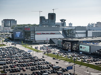
Nearby attractions include: Crocus City Mall, Krylatskoye Sports Palace, Spartak, Zhivopisny Bridge.
Frequently Asked Questions (FAQ)
How to get to Strogino District by public transport?
The nearest stations to Strogino District:
Bus
Tram
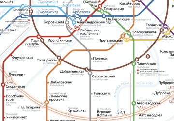
Metro
Bus
- Троице-Лыково • Lines: 137 (9 min walk)
- ОВД Строгино • Lines: 640 (10 min walk)
Tram
- Универсам • Lines: 10 (18 min walk)
- Почта - школа имени Марины Цветаевой • Lines: 10 (19 min walk)
Metro
- Strogino (27 min walk)

 Metro
Metro


