Vozdvizhenka Street, Moscow
Map

Gallery
Facts and practical information
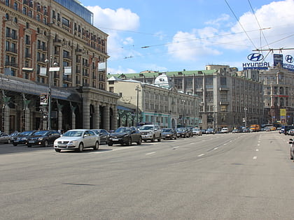
Vozdvizhenka Street, is a radial street connecting Manege Square and Arbat Square in central Arbat District of Moscow, Russia. The street's name refers to a monastery that existed here since 1450 and perished in the Fire of Moscow. In 1934–1946, it was known as Comintern Street, in 1946-1991 as Kalinin Street Kalinin Prospect. ()
Address
Центральный административный ок (Арбат)Moscow
ContactAdd
Social media
Add
Day trips
Vozdvizhenka Street – popular in the area (distance from the attraction)
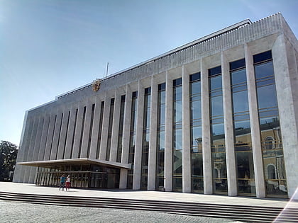
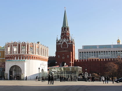
Nearby attractions include: Tverskaya Street, Alexander Garden, Kremlin Armoury, State Kremlin Palace.
Frequently Asked Questions (FAQ)
Which popular attractions are close to Vozdvizhenka Street?
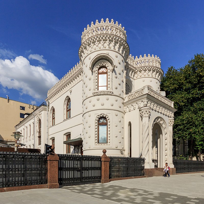
Nearby attractions include Volkonsky House, Moscow (1 min walk), Shchusev Museum of Architecture, Moscow (2 min walk), Arseny Morozov House, Moscow (3 min walk), Building of the Alexander Podvorie, Moscow (3 min walk).
How to get to Vozdvizhenka Street by public transport?
The nearest stations to Vozdvizhenka Street:
Metro
Bus
Tram
Metro
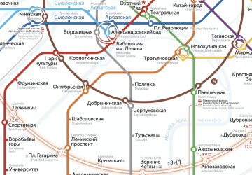
- Arbatskaya • Lines: 3 (3 min walk)
- Alexander Garden (4 min walk)
Bus
- Арбатские Ворота • Lines: м2, м7, Н2 (5 min walk)
- Метро Библиотека имени Ленина • Lines: 144, м1, м2, м3, м7, Н11, Н2 (6 min walk)
Tram
- Метро Новокузнецкая • Lines: 3, 39, А (31 min walk)
- Комиссариатский мост • Lines: 3, 39, А (33 min walk)

 Metro
Metro