Lubyanka Square, Moscow
Map
Gallery
Facts and practical information
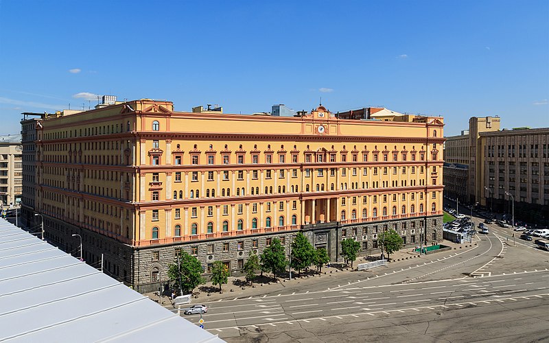
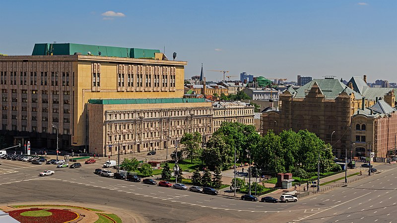
Lubyanskaya Square, or simply Lubyanka in Moscow lies about 900 metres north-east of Red Square. History first records its name in 1480, when Grand Prince Ivan III of Moscow, who had conquered Novgorod in 1471, settled many Novgorodians in the area. They built the church of St Sophia, modelled after St Sophia Cathedral in Novgorod, and called the area Lubyanka after the Lubyanitsa street of their native city. ()
Day trips
Lubyanka Square – popular in the area (distance from the attraction)
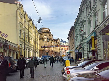
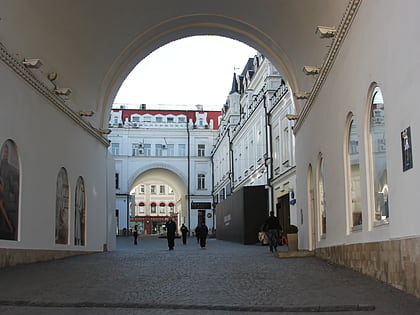
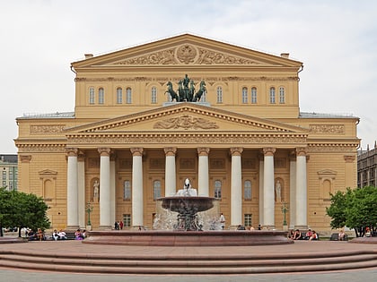
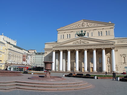
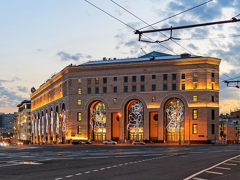
Nearby attractions include: Kuznetsky Most, Tretyakovsky Proyezd, Bolshoi Theatre, Central Children's Store on Lubyanka.
Frequently Asked Questions (FAQ)
Which popular attractions are close to Lubyanka Square?
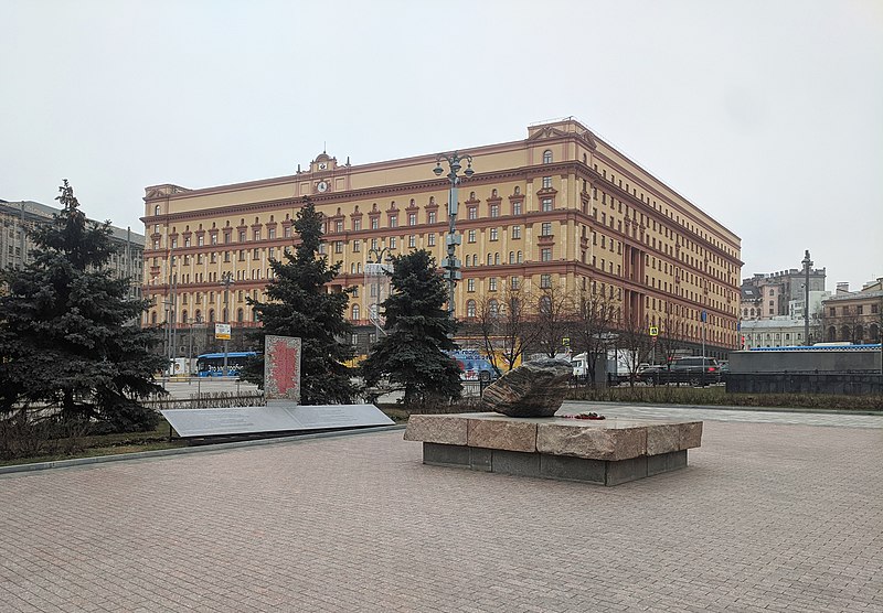
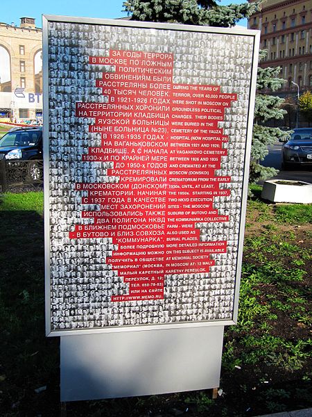
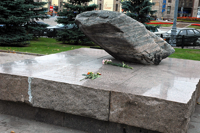
Nearby attractions include Solovetsky Stone, Moscow (2 min walk), Lubyanka Building, Moscow (3 min walk), Tretyakovsky Proyezd, Moscow (4 min walk), Russian Orthodox University, Moscow (4 min walk).
How to get to Lubyanka Square by public transport?
The nearest stations to Lubyanka Square:
Bus
Metro
Tram
Train
Bus
- Метро Лубянка • Lines: м2, Н2 (2 min walk)
- Метро Лубянка – Центральный детский магазин • Lines: е30, м2, м7, м9, Н6 (2 min walk)
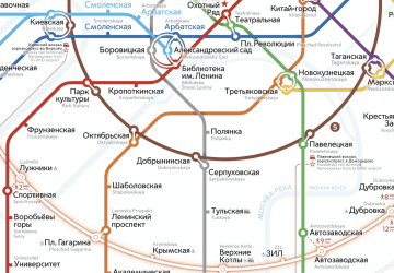
Metro
- Lubyanka (2 min walk)
- Kuznetsky Most (3 min walk)
Tram
- Метро Чистые пруды • Lines: 3, 39, А (15 min walk)
- Большой Харитоньевский переулок • Lines: 3, 39, А (17 min walk)
Train
- Kalanchyovskaya (39 min walk)



 Metro
Metro