Smolensky Metro Bridge, Moscow
Map
Map

Facts and practical information
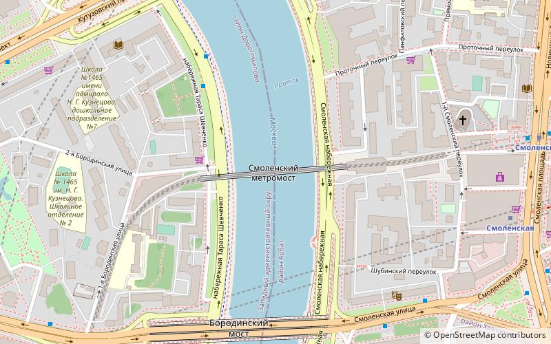
Smolensky Metro Bridge is a steel arch bridge that spans Moskva River in Dorogomilovo District of Moscow, Russia. It is the first bridge built for the Moscow Metro in 1935–1937, designed by N.P.Polikarpov, P.K.Antonov and Yakovlev brothers. It is one of two bridges over Moskva River that are used exclusively by Metro trains, while the other Metro bridges combine road and rail. ()
Address
Центральный административный ок (Арбат)Moscow
ContactAdd
Social media
Add
Day trips
Smolensky Metro Bridge – popular in the area (distance from the attraction)
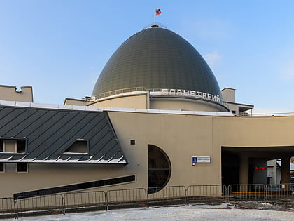
Nearby attractions include: Monument to Leo Tolstoy on Prechistenka, Moscow Planetarium, Monument to Marina Tsvetaeva, Ministry of Foreign Affairs of Russia main building.
Frequently Asked Questions (FAQ)
Which popular attractions are close to Smolensky Metro Bridge?
Nearby attractions include Borodinsky Bridge, Moscow (6 min walk), Smolenskaya Square, Moscow (8 min walk), Square of Europe, Moscow (10 min walk), Ministry of Foreign Affairs of Russia main building, Moscow (11 min walk).
How to get to Smolensky Metro Bridge by public transport?
The nearest stations to Smolensky Metro Bridge:
Bus
Metro
Train
Bus
- набережная Тараса Шевченко • Lines: 622 (4 min walk)
- Бородинский мост • Lines: 239 (6 min walk)
Metro
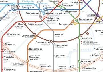
- Smolenskaya • Lines: 3 (8 min walk)
- Kiyevskaya • Lines: 3 (12 min walk)
Train
- Moscow Kiyevsky (16 min walk)
- Москва-Товарная-Киевская (21 min walk)

 Metro
Metro
