Uzno-Primorskij park, Saint Petersburg
Map
Gallery

Facts and practical information
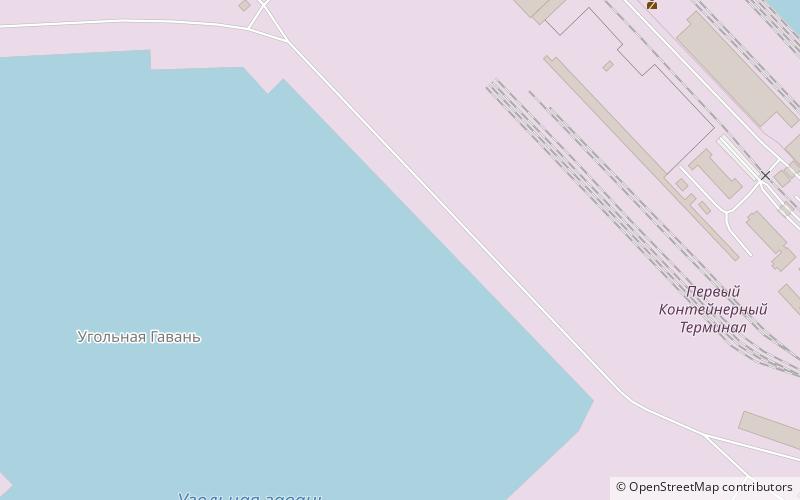
Yuzhno-Primorskiy Park is a large park in the Krasnoselsky District of St. Petersburg. It occupies an area of 58 hectares of greenery between Peterhof highway, Doblesti street, Marshala Zakharov street and Dudergofsky channel.
Elevation: 23 ft a.s.l.Coordinates: 59°51'8"N, 30°10'2"E
Address
Saint Petersburg
ContactAdd
Social media
Add
Day trips
Uzno-Primorskij park – popular in the area (distance from the attraction)
Nearby attractions include: Strelna, Narva Triumphal Arch, House of Soviets, Ligovsky overpass.
Frequently Asked Questions (FAQ)
How to get to Uzno-Primorskij park by public transport?
The nearest stations to Uzno-Primorskij park:
Trolleybus
Bus
Tram
Trolleybus
- улица Рихарда Зорге • Lines: 48 (8 min walk)
- Петергофское шоссе • Lines: 48 (11 min walk)
Bus
- улица Рихарда Зорге • Lines: 111, 142, 160, 2, 2А, 87 (9 min walk)
- Улица Маршала Захарова, 18 • Lines: 142, 2А, 83 (11 min walk)
Tram
- Южно-Приморский парк • Lines: 36, 60 (11 min walk)
- Петергофское шоссе, 43 • Lines: 36, 60 (13 min walk)


 Metro
Metro


