Historic Centre of Saint Petersburg and Related Groups of Monuments, Saint Petersburg
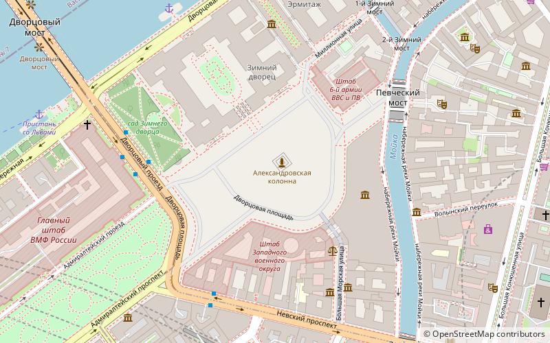
Map

Map

Facts and practical information
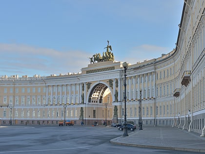
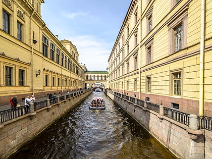
Historic Centre of Saint Petersburg and Related Groups of Monuments is the name used by UNESCO when it collectively designated the historic core of the Russian city of St. Petersburg, as well as buildings and ensembles located in the immediate vicinity as a World Heritage Site in 1991. ()
Local name: Исторический центр Санкт-Петербурга и связанные с ним комплексы памятников Unesco: from 1990Area: 15.19 mi²Elevation: 30 ft a.s.l.Coordinates: 59°56'20"N, 30°18'56"E
Address
Центральный район (Дворцовый)Saint Petersburg
ContactAdd
Social media
Add
Day trips
Historic Centre of Saint Petersburg and Related Groups of Monuments – popular in the area (distance from the attraction)
Nearby attractions include: Winter Palace, Hermitage Museum, Nevsky Prospect, Alexander Column.
Frequently Asked Questions (FAQ)
Which popular attractions are close to Historic Centre of Saint Petersburg and Related Groups of Monuments?
Nearby attractions include Alexander Column, Saint Petersburg (1 min walk), National Pushkin Museum, Saint Petersburg (1 min walk), Musée Anna-Akhmatova, Saint Petersburg (1 min walk), Palace Square, Saint Petersburg (1 min walk).
How to get to Historic Centre of Saint Petersburg and Related Groups of Monuments by public transport?
The nearest stations to Historic Centre of Saint Petersburg and Related Groups of Monuments:
Bus
Trolleybus
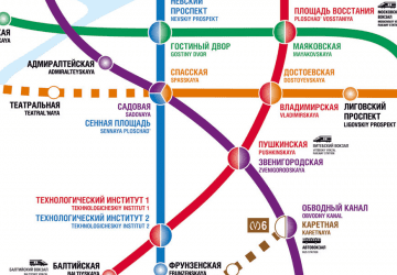
Metro
Ferry
Tram
Bus
- Дворцовая набережная • Lines: 10, 191, 24, 7 (4 min walk)
- Малая Морская улица • Lines: 10, 191, 24, 7 (5 min walk)
Trolleybus
- Малая Морская улица • Lines: 1, 10, 11, 17, 7 (5 min walk)
Metro
- Адмиралтейская • Lines: 5 (6 min walk)
- Невский проспект • Lines: 2 (15 min walk)
Ferry
- Дворцовая пристань (6 min walk)
Tram
- Апраксин двор • Lines: 3 (18 min walk)
- Apraksin Dvor • Lines: 3 (18 min walk)

 Metro
Metro


