Voykovsky District, Moscow
Map

Map

Facts and practical information
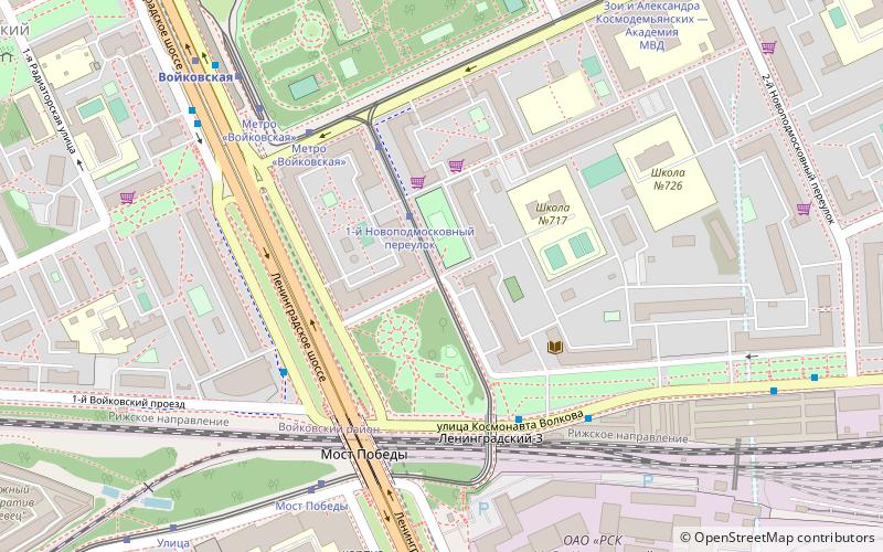
Voykovsky District is an administrative district, one of the sixteen in Northern Administrative Okrug of the federal city of Moscow, Russia. It is located 10 km northwest of the Moscow city center. The area of the district is 6.6 square kilometres As of the 2010 Census, the total population of the district was 64,933. ()
Day trips
Voykovsky District – popular in the area (distance from the attraction)
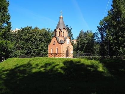
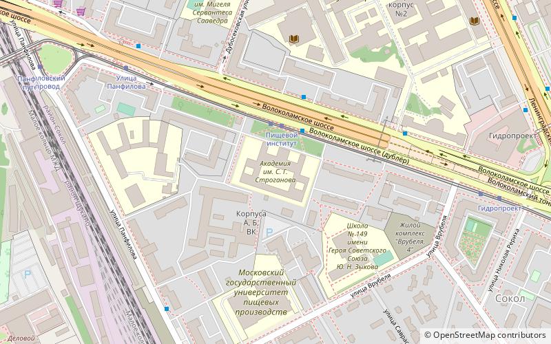
Nearby attractions include: Memorial park complex of the heroes of the First World War, Metropolis Mall, Moscow Aviation Institute, Stroganov Moscow State Academy of Arts and Industry.
Frequently Asked Questions (FAQ)
Which popular attractions are close to Voykovsky District?
Nearby attractions include Moscow Aviation Institute, Moscow (12 min walk), Stroganov Moscow State Academy of Arts and Industry, Moscow (18 min walk), Sokol, Moscow (21 min walk).
How to get to Voykovsky District by public transport?
The nearest stations to Voykovsky District:
Tram
Bus
Metro
Train
Tram
- 1-й Новоподмосковный переулок (3 min walk)
- Метро Войковская (5 min walk)
Bus
- Мост Победы • Lines: 105, Т43К (6 min walk)
- Улица Зои и Александра Космодемьянских • Lines: 43, Т43К, т6 (6 min walk)
Metro
- Voykovskaya (7 min walk)
- Sokol (24 min walk)
Train
- Streshnevo (13 min walk)
- Krasny Baltiyets (22 min walk)

 Metro
Metro


