Yaroslavsky District, Moscow


Facts and practical information
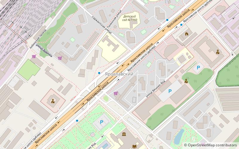
Yaroslavsky District, Moscow is an administrative district of North-Eastern Administrative Okrug, and one of the 125 raions of Moscow, Russia. The area of the district is 7.99 square kilometers. The district is situated on both sides of a major highway, Yaroslavskoye shosse, east from Yaroslavsky railway, and is named after both. The railway serves as the district's western border, Losiny Ostrov national park is on its eastern border, and MKAD serves as its northern border. The Moscow State University of Civil Engineering is located in this district at 26 Yaroslavsky Highway. ()
Yaroslavsky District – popular in the area (distance from the attraction)
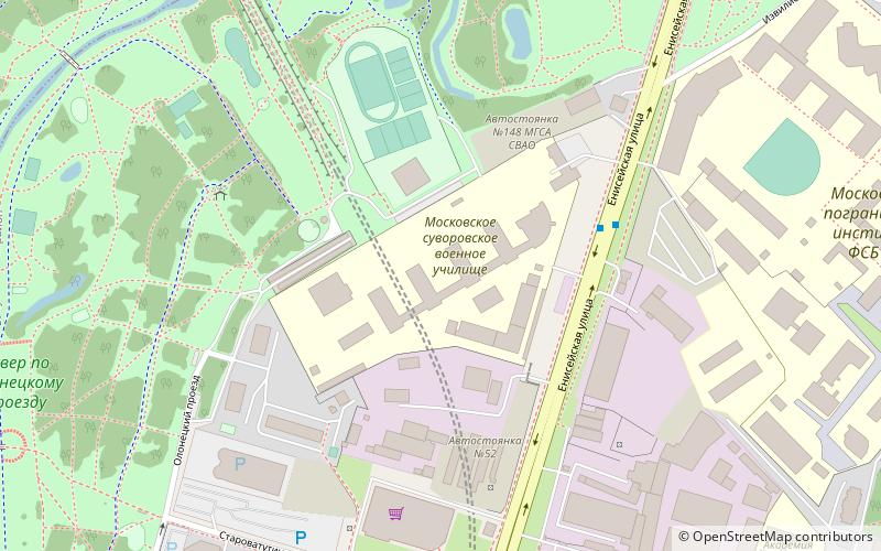
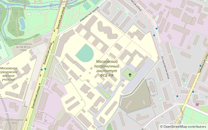
Nearby attractions include: Moscow State University of Civil Engineering, Moscow Suvorov Military School, Moscow Border Institute of the FSB of the Russian Federation, Babushkinsky District.
Frequently Asked Questions (FAQ)
How to get to Yaroslavsky District by public transport?
Bus
- Улица Вешних Вод • Lines: 136, 244, 375, 544, 789, 903, Т76 (5 min walk)
- Школа 750 • Lines: 136, 244, 375, 544, 789, Т76 (6 min walk)
Train
- Losinoostrovskaya (11 min walk)
Tram
- Комбинат Лира — Пенсионный фонд • Lines: 17 (30 min walk)
- Берингов проезд • Lines: 17 (31 min walk)
Metro
- Babushkinskaya (33 min walk)

 Metro
Metro


