Kama Bridge

Gallery (1)
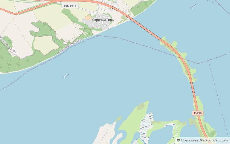
Map
Map
Facts and practical information
The Kama Bridge, is a bridge on the highway R239 between Soroch'i Gory and Alekseevskoye settlements in Tatarstan, Russia. It is a part of the longest artificial road structure in Russia if measured by the total length of elevated roadway. The structure with a total length of 13,967 m incorporates three bridges: over the Kama River, over the Arkharovka River and over the Kurlyanka River. The rest is elevated embankment, not bridges. ()
Local name: Мост через Каму на автодороге Р239 Opened: 18 October 2002 (23 years ago)Length: 5276 ftCoordinates: 55°21'28"N, 49°57'59"E
Location
Tatarstan
ContactAdd
Social media
Add