Kremlyovskaya Street, Kazan
Map

Map

Facts and practical information
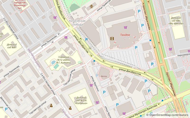
Kremlyovskaya Street is the main street of the city of Kazan, Republic of Tatarstan, Russia. The street runs from and is named after the Kazan Kremlin to the north. The street stretches south to the Kazan State University campus, located on both sides of the street. ()
Day trips
Kremlyovskaya Street – popular in the area (distance from the attraction)
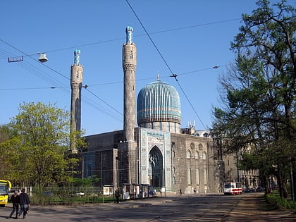
Nearby attractions include: Bulgar Mosque, Kizichesky Monastery, Meteor-193, Rubka podvodnoj lodki Kazan.
Frequently Asked Questions (FAQ)
How to get to Kremlyovskaya Street by public transport?
The nearest stations to Kremlyovskaya Street:
Trolleybus
Bus
Metro
Tram
Trolleybus
- ТРК Тандем • Lines: 10, 2 (1 min walk)
- Энергетический университет • Lines: 1 (7 min walk)
Bus
- ТРК Тандем • Lines: 15, 22, 28, 28a, 29, 35, 35a, 37, 47, 6, 89 (6 min walk)
- Гуманитарный институт • Lines: 108, 15, 22, 29, 35a, 47 (8 min walk)
Metro
- Kozya sloboda • Lines: 1 (10 min walk)
- Yashlek • Lines: 1 (17 min walk)
Tram
- Khimikov Culture center • Lines: 5, 5а, 6 (12 min walk)
- ул.Серова • Lines: 1, 5 (13 min walk)


