Bolshaya Lubyanka Street, Moscow
Map
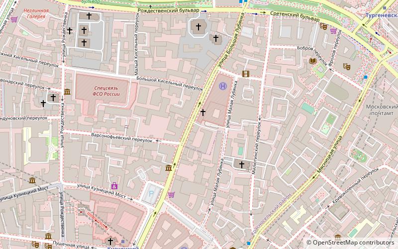
Map

Facts and practical information
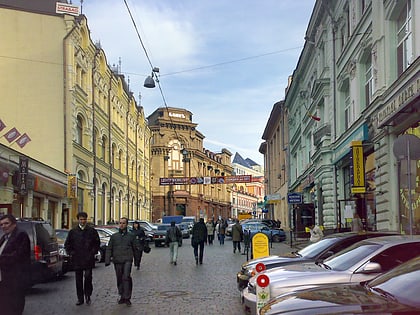
Bolshaya Lubyanka Street is a radial street in Moscow's Central Administrative Okrug. The street runs north-east from Lubyanka Square to Sretenka Gates Square on the Boulevard Ring. The path of Bolshaya Lubyanka is continued by Sretenka Street, Mira Avenue and Yaroslavskoye Shosse and is the starting stretch of the route of M8 highway, connecting Moscow to Sergiyev Posad, Yaroslavl, Vologda, and Arkhangelsk. ()
Address
Центральный административный ок (Красносельский)Moscow
ContactAdd
Social media
Add
Day trips
Bolshaya Lubyanka Street – popular in the area (distance from the attraction)
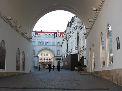
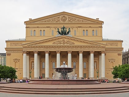
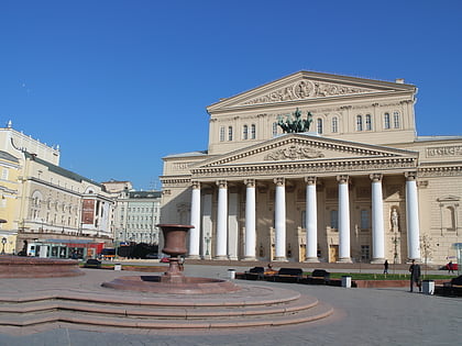
Nearby attractions include: Kuznetsky Most, Tretyakovsky Proyezd, Bolshoi Theatre, Central Children's Store on Lubyanka.
Frequently Asked Questions (FAQ)
Which popular attractions are close to Bolshaya Lubyanka Street?
Nearby attractions include Church of St. Louis of the French, Moscow (3 min walk), Sretensky Monastery, Moscow (4 min walk), Lubyanka Building, Moscow (6 min walk), Nativity Convent, Moscow (6 min walk).
How to get to Bolshaya Lubyanka Street by public transport?
The nearest stations to Bolshaya Lubyanka Street:
Bus
Metro
Tram
Train
Bus
- Метро Лубянка • Lines: 122, м2, Н2 (7 min walk)
- Сретенские Ворота • Lines: м2, м9, Н6 (6 min walk)
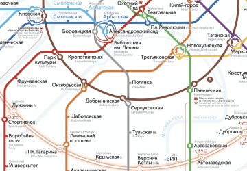
Metro
- Kuznetsky Most (6 min walk)
- Lubyanka (7 min walk)
Tram
- Метро Чистые пруды • Lines: 3, 39, А (10 min walk)
- Большой Харитоньевский переулок • Lines: 3, 39, А (13 min walk)
Train
- Kalanchyovskaya (32 min walk)
- Moskva Oktiabrskaia (36 min walk)

 Metro
Metro