Leningradsky Avenue, Moscow
Map
Gallery
Facts and practical information
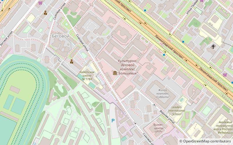
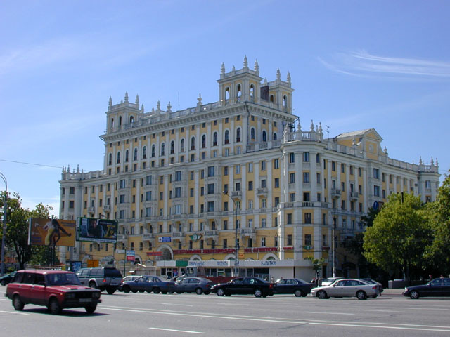
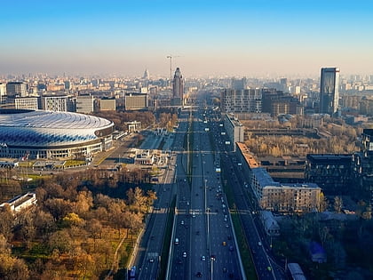
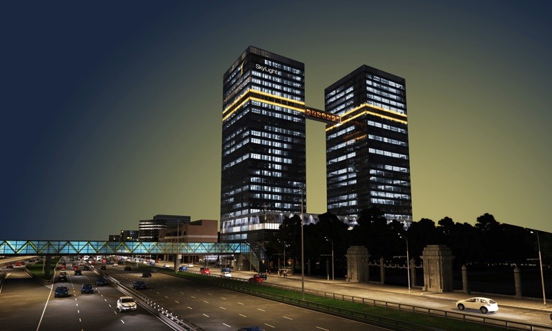
Leningradsky Prospekt, or Leningrad Avenue, is a major arterial avenue in Moscow, Russia. It continues the path of Tverskaya Street and 1st Tverskaya-Yamskaya Street north-west from Belorussky Rail Terminal, and changes the name once again to Leningrad Highway past the Sokol metro station. The Highway continues its way to Saint Petersburg via Tver. ()
Address
Северный административный округ (Беговой)Moscow
ContactAdd
Social media
Add
Day trips
Leningradsky Avenue – popular in the area (distance from the attraction)
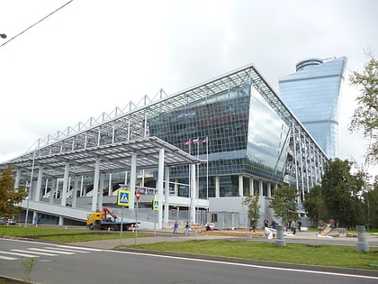
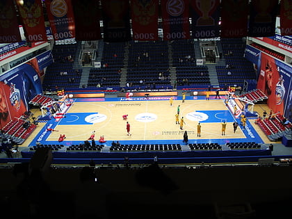
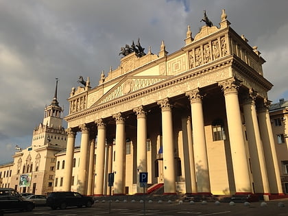
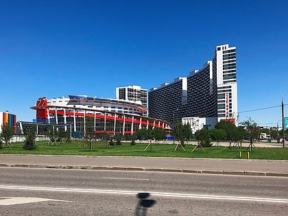
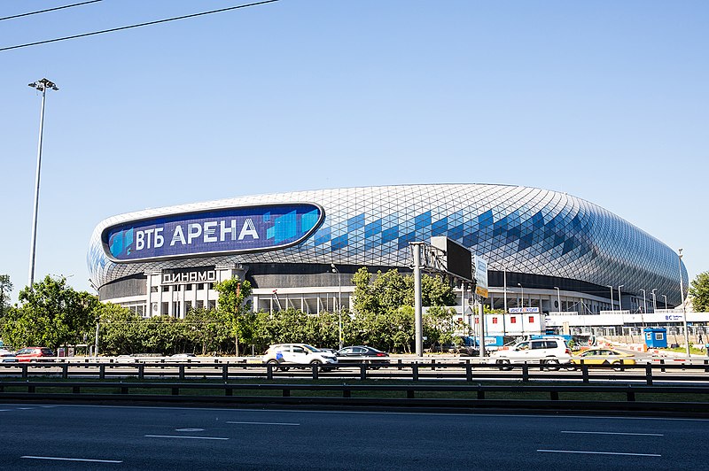
Nearby attractions include: VEB Arena, VTB Arena, Alexander Gomelsky Universal Sports Hall CSKA, Central Moscow Hippodrome.
Frequently Asked Questions (FAQ)
Which popular attractions are close to Leningradsky Avenue?
Nearby attractions include Aeroport District, Moscow (12 min walk), Khodynka Field, Moscow (19 min walk), Khoroshyovsky District, Moscow (21 min walk).
How to get to Leningradsky Avenue by public transport?
The nearest stations to Leningradsky Avenue:
Bus
Metro
Train
Tram
Bus
- Путевой дворец • Lines: 105, 318, 319, 322, 84, м1, с356, т29, Т65, т86 (4 min walk)
- Улица Серёгина • Lines: 105, 412, 456к, е30, е30к, м1, с356, Т43, т6, Т65, т86 (5 min walk)
Metro
- Petrovskiy Park • Lines: 11, 11А (9 min walk)
- Dinamo (12 min walk)
Train
- Grazhdanskaya (23 min walk)
- Dmitrovskaya (40 min walk)
Tram
- Дмитровский проезд (40 min walk)
- Метро Дмитровская (40 min walk)


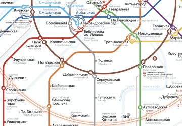 Metro
Metro