Preobrazhensky Metro Bridge, Moscow
Map

Map

Facts and practical information
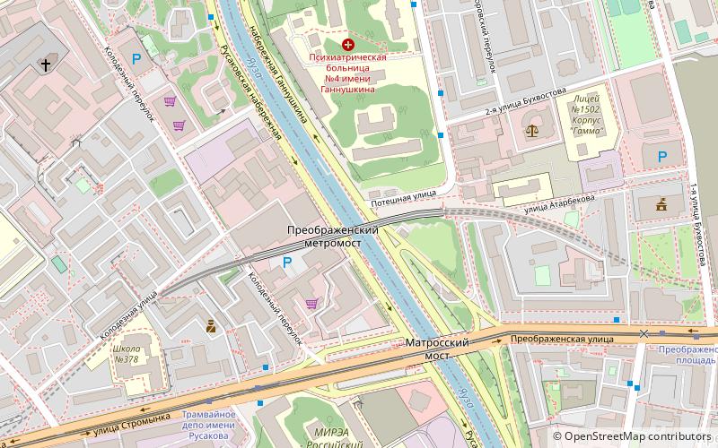
Preobrazhenskiy Metro Bridge is the shortest of four rail bridges in Moscow, Russia. It is located in the Eastern Administrative Okrug of the city. It spans over Yauza River and is a part of the Sokolnicheskaya Line of Moscow Metro. It connects the stations Preobrazhenskaya Ploshchad and Sokolniki. ()
Address
Русаковская наб.Восточный административный окру (Преображенское)Moscow
ContactAdd
Social media
Add
Day trips
Preobrazhensky Metro Bridge – popular in the area (distance from the attraction)
Nearby attractions include: Museum of Calligraphy, Sokolniki Park, Prostornaya Street, Preobrazhenskoye Cemetery.
Frequently Asked Questions (FAQ)
Which popular attractions are close to Preobrazhensky Metro Bridge?
Nearby attractions include Bogorodskoye District, Moscow (12 min walk), Rusakov Workers' Club, Moscow (18 min walk), Preobrazhenskoye Cemetery, Moscow (18 min walk), Prostornaya Street, Moscow (21 min walk).
How to get to Preobrazhensky Metro Bridge by public transport?
The nearest stations to Preobrazhensky Metro Bridge:
Bus
Tram
Metro
Train
Bus
- Потешная улица • Lines: 265 (4 min walk)
- Трамвайное депо имени Русакова • Lines: 14, 265, 716, Т32, Т41 (5 min walk)
Tram
- Трамвайное депо имени Русакова • Lines: 13, 7 (6 min walk)
- Преображенская площадь • Lines: 13, 7 (9 min walk)
Metro
- Preobrazhenskaya Ploshchad (14 min walk)
- Sokolniki (26 min walk)
Train
- Elektrozavodskaya (28 min walk)

 Metro
Metro


