Prostornaya Street, Moscow
Map

Map

Facts and practical information
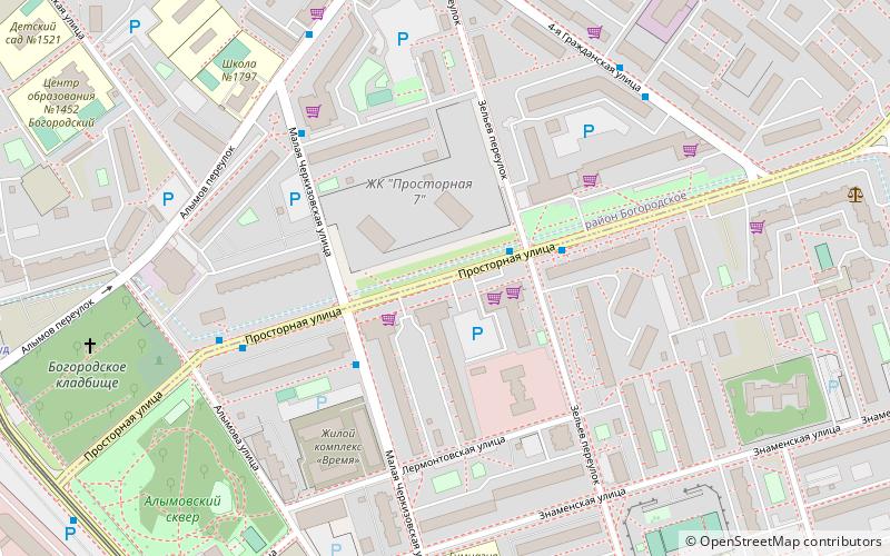
Prostornaya Street is a street in the Preobrazhenskoye District, Eastern Administrative Okrug, Moscow. It is located between Krasnobogatyrskaya and Halturinskaya streets. The street is a border between Bogorodskoye and Preobrazhenskoye districts. ()
Address
Восточный административный окру (Преображенское)Moscow
ContactAdd
Social media
Add
Day trips
Prostornaya Street – popular in the area (distance from the attraction)
Nearby attractions include: RZD Arena, Preobrazhensky Metro Bridge, Preobrazhenskoye Cemetery, Preobrazhenskoye District.
Frequently Asked Questions (FAQ)
Which popular attractions are close to Prostornaya Street?
Nearby attractions include Bogorodskoye District, Moscow (12 min walk), Preobrazhenskoye District, Moscow (16 min walk), Preobrazhensky Metro Bridge, Moscow (21 min walk), Preobrazhenskoye Cemetery, Moscow (24 min walk).
How to get to Prostornaya Street by public transport?
The nearest stations to Prostornaya Street:
Bus
Tram
Metro
Bus
- Зельев переулок • Lines: 265 (3 min walk)
- Просторная улица • Lines: 80 (3 min walk)
Tram
- Мосгорсуд • Lines: 11, 46, 7 (9 min walk)
- Улица Хромова • Lines: 11, 46, 7 (10 min walk)
Metro
- Preobrazhenskaya Ploshchad (16 min walk)
- Bul'var Rokossovskogo (25 min walk)

 Metro
Metro


