Red Bridge, Saint Petersburg
Map

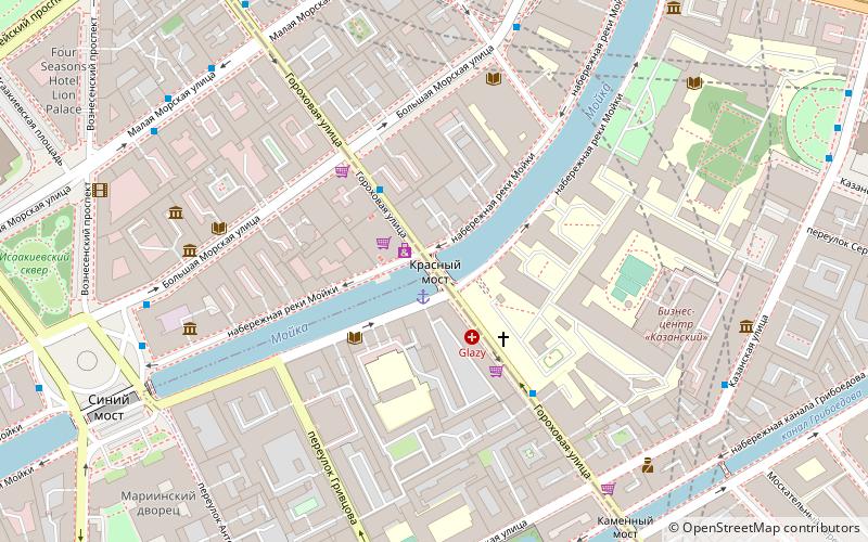
Map

Facts and practical information
The Red Bridge, is a single-span bridge across the Moika River in Saint Petersburg, Russia. The bridge is a part of Gorokhovaya Street. The length of the bridge is 42 m; the width is 16.8 m. ()
Address
Gorokhovaya St. and Reki Moyki Emb.Центральный район (№78)Saint Petersburg
ContactAdd
Social media
Day trips
Red Bridge – popular in the area (distance from the attraction)
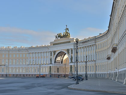
Nearby attractions include: Saint Isaac's Cathedral, Alexander Column, Stroganov Palace, Our-Lady-of-Kazan Cathedral.
Frequently Asked Questions (FAQ)
Which popular attractions are close to Red Bridge?
Nearby attractions include Herzen University, Saint Petersburg (4 min walk), St. Petersburg State University of Telecommunications, Saint Petersburg (5 min walk), Stone Bridge, Saint Petersburg (6 min walk), Petrovskaa Akvatoria, Saint Petersburg (6 min walk).
How to get to Red Bridge by public transport?
The nearest stations to Red Bridge:
Trolleybus
Bus
Metro
Tram
Ferry
Train
Trolleybus
- Большая Морская улица • Lines: 17 (2 min walk)
- Казанская улица • Lines: 17 (6 min walk)
Bus
- станция метро Адмиралтейская • Lines: 10, 22, 27, 3 (5 min walk)
- Исаакиевская площадь • Lines: 10, 22, 27, 3, 70, 71 (7 min walk)
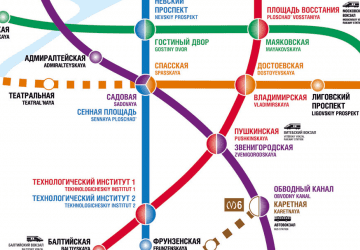
Metro
- Адмиралтейская • Lines: 5 (6 min walk)
- Садовая • Lines: 5 (11 min walk)
Tram
- станция метро Сенная площадь • Lines: 3 (11 min walk)
- Apraksin Dvor • Lines: 3 (11 min walk)
Ferry
- Дворцовая пристань (17 min walk)
Train
- St Petersburg Vitebskii (29 min walk)

 Metro
Metro


