Smolenka, Saint Petersburg
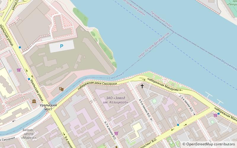
Map

Map

Facts and practical information
The Smolenka is a minor river in the city of Saint Petersburg, Russia. It is one of the armlets of the Neva forming its delta. It branches off the Malaya Neva armlet at 59°57′00″N 30°16′25″E, and flows through the Smolensky Cemetery into the Gulf of Finland, separating Decembrists' Island from the Vasilievsky Island. It is 3,700 metres long. ()
Address
Василеостровский район (№11)Saint Petersburg
ContactAdd
Social media
Add
Day trips
Smolenka – popular in the area (distance from the attraction)
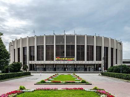
Nearby attractions include: Petrovsky Stadium, Menshikov Palace, Yubileyny Sports Palace, Quay with Sphinxes.
Frequently Asked Questions (FAQ)
Which popular attractions are close to Smolenka?
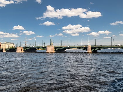
Nearby attractions include Tuchkov Bridge, Saint Petersburg (11 min walk), Artmuza, Saint Petersburg (11 min walk), Petrovsky Stadium, Saint Petersburg (12 min walk), Lutheran Church of Saint Michael, Saint Petersburg (13 min walk).
How to get to Smolenka by public transport?
The nearest stations to Smolenka:
Trolleybus
Bus
Tram
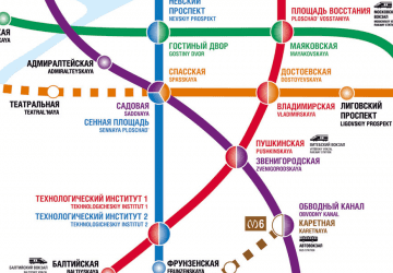
Metro
Trolleybus
- Малый проспект В.О. • Lines: 9 (6 min walk)
- 8-я и 9-я линии В.О. • Lines: 9 (7 min walk)
Bus
- Малый проспект В.О. • Lines: 128, 151, 42 (7 min walk)
- Завод имени Калинина • Lines: 151, 152, 41, 42 (7 min walk)
Tram
- 1-я и Кадетская линии В.О., станция метро Спортивная • Lines: 40, 6 (12 min walk)
- Средний проспект В.О. • Lines: 40, 6 (13 min walk)
Metro
- Василеостровская • Lines: 3 (13 min walk)
- Спортивная • Lines: 5 (14 min walk)

 Metro
Metro


