Dennery District

Map
Facts and practical information
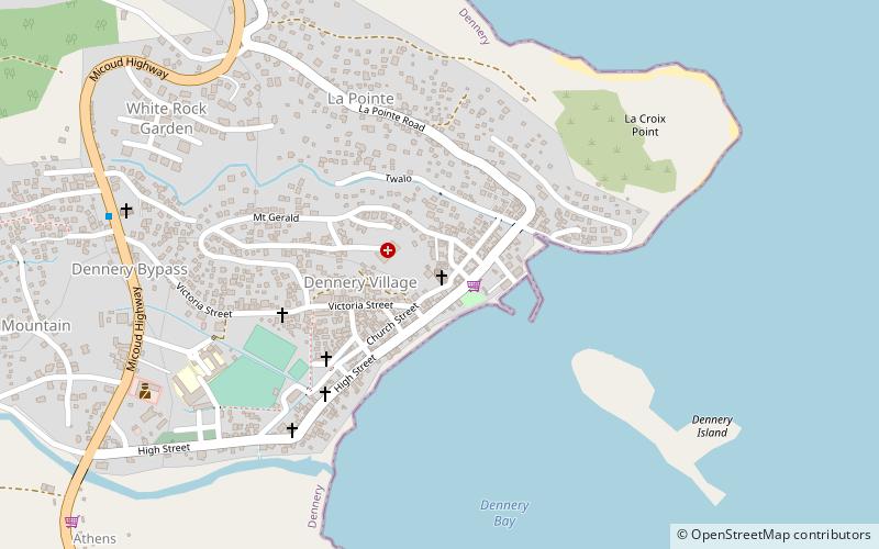
Dennery District is one of 10 districts of the Caribbean island nation of Saint Lucia. The seat of Dennery District is the Dennery Village. The main economic activities are fishing, and the cultivation of lima beans, bananas, and other tropical fruit. The population of the quarter was estimated at 12,876 in 2002 and fell to 12,767 in 2010. ()
Location
Dennery
ContactAdd
Social media
Add
Day trips
Dennery District – popular in the area (distance from the attraction)
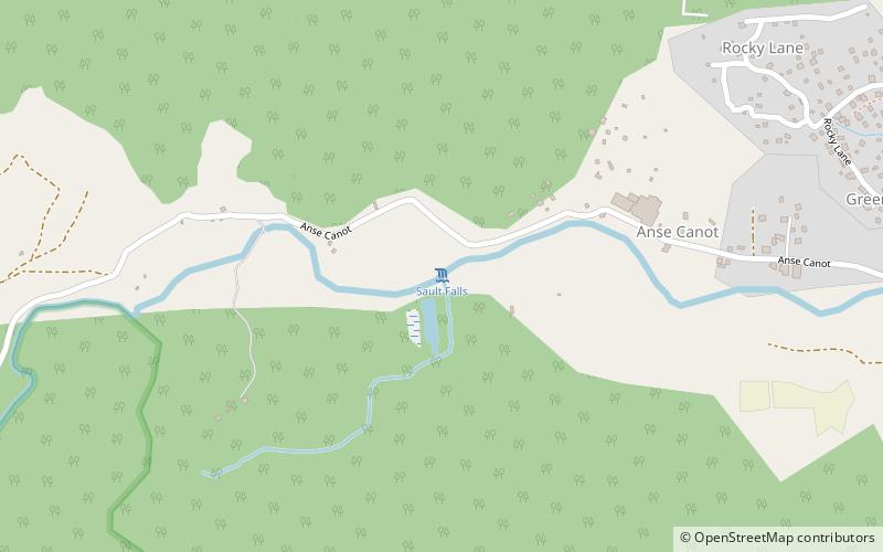
Nearby attractions include: Sault Falls.
