Sault Falls
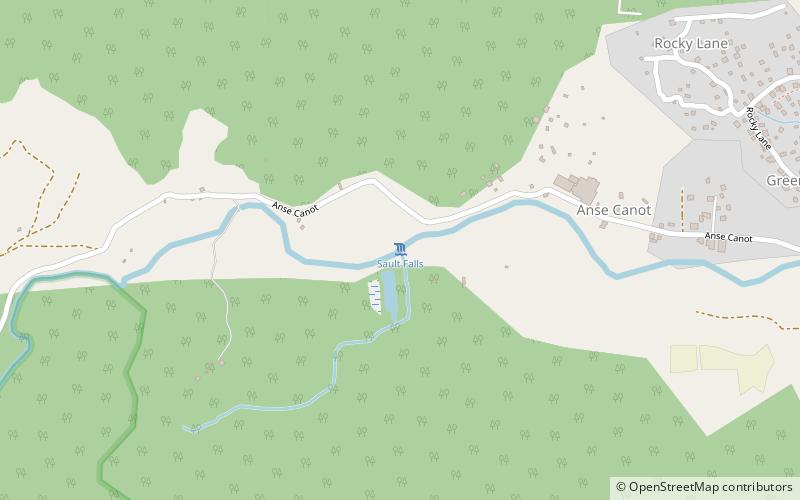
Map
Facts and practical information
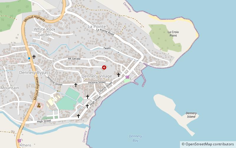
Sault Falls is a 15-to-20-metre high waterfall near Dennery in Saint Lucia. ()
Coordinates: 13°54'34"N, 60°54'21"W
Location
Dennery
ContactAdd
Social media
Add
Day trips
Sault Falls is a 15-to-20-metre high waterfall near Dennery in Saint Lucia. ()
Dennery
Where to next? Visit ![]() Dennery region page or discover the top tourist attractions in Saint Lucia.
Dennery region page or discover the top tourist attractions in Saint Lucia.