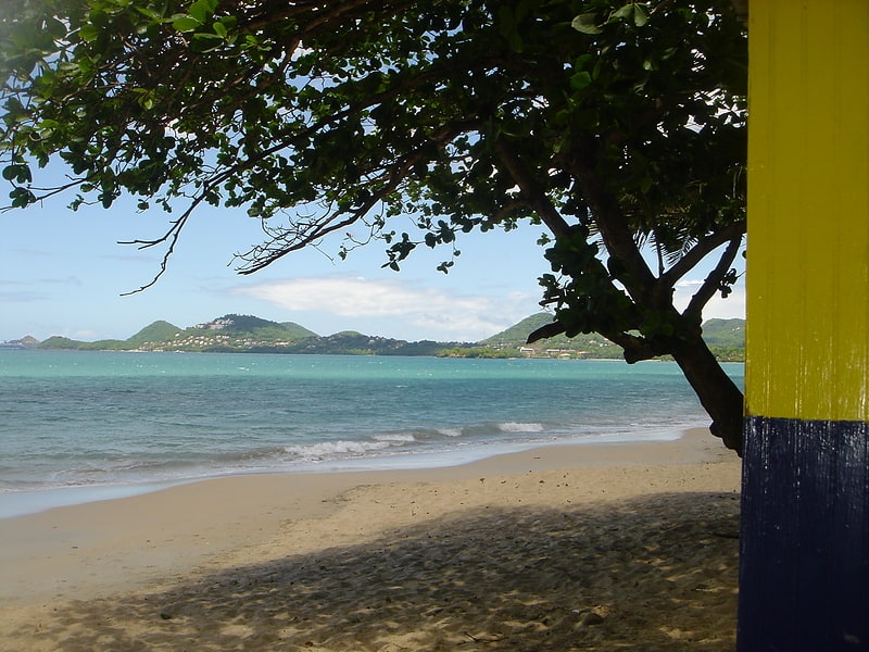
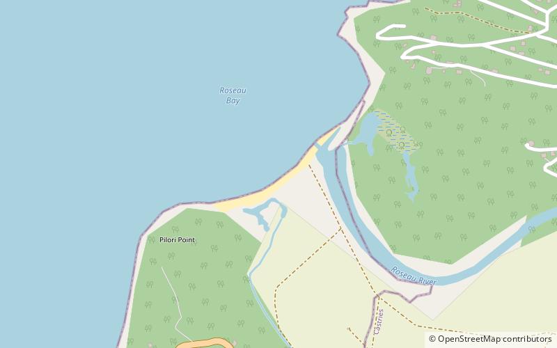
Marigot Beach, Marigot Bay
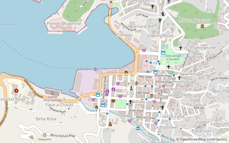
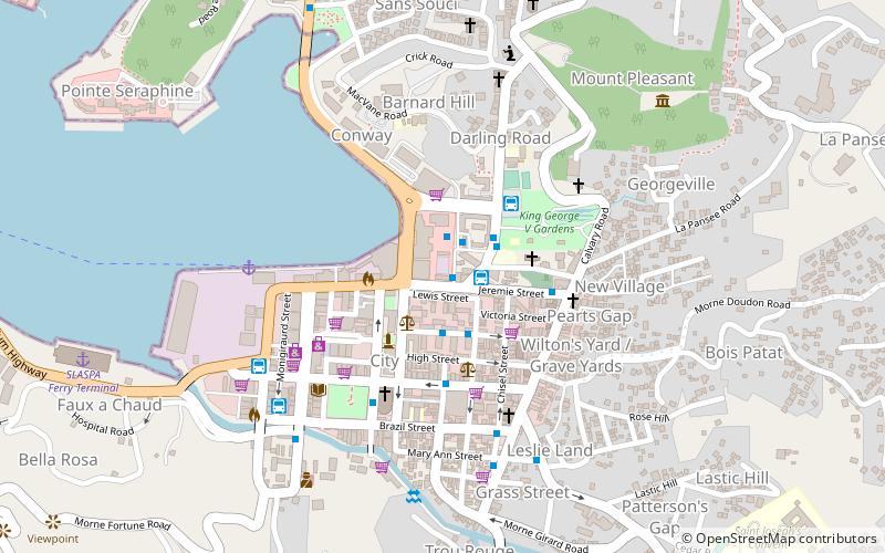
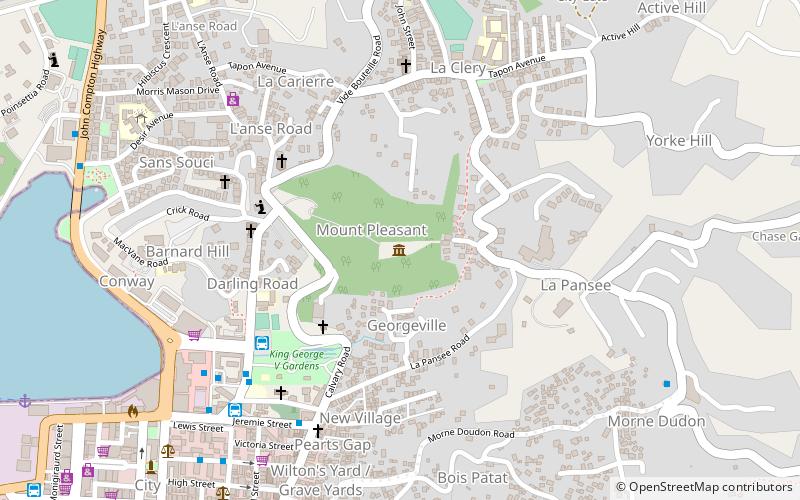
Map
Facts and practical information
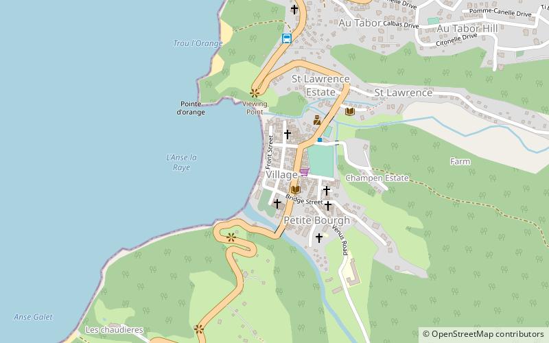
Marigot Beach is a place located in Marigot Bay (Anse-la-Raye quarter) and belongs to the category of beach.
It is situated at an altitude of 3 feet, and its geographical coordinates are 13°57'30"N latitude and 61°2'4"W longitude.
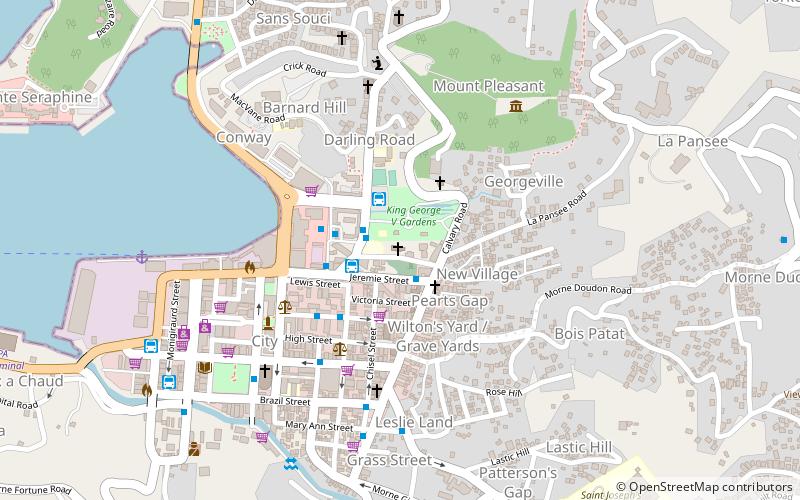
Among other places and attractions worth visiting in the area are: Anse la raye Village Square (neighbourhood, 36 min walk), Anse La Raye (town, 44 min walk), Morne Fortune, Castries (mountain, 95 min walk).
Coordinates: 13°57'30"N, 61°2'4"W
Address
Marigot Bay
ContactAdd
Social media
Add
Day trips