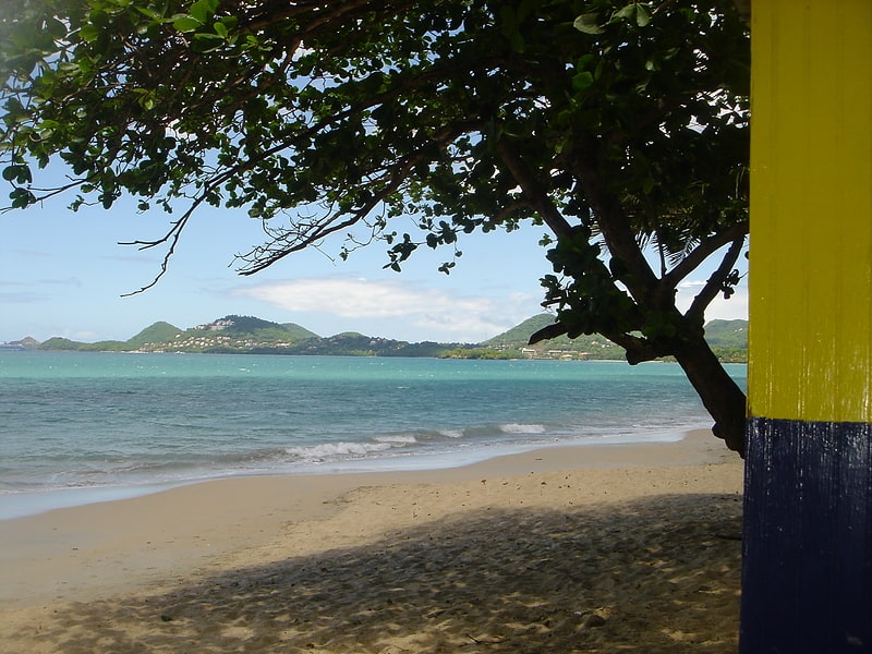
Donkey Beach, Gros Islet District
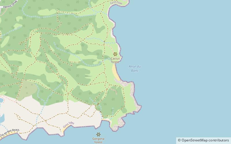
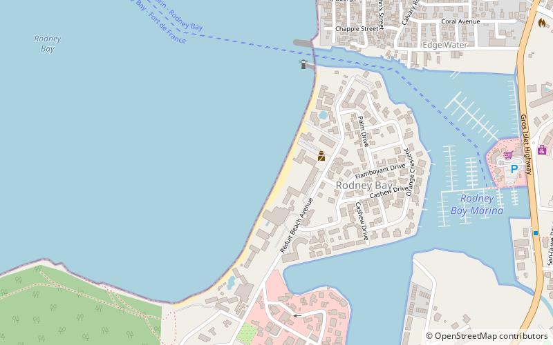
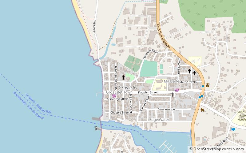
Map
Facts and practical information
Donkey Beach is a place located in Gros Islet District (Gros Islet quarter) and belongs to the category of beach.
It is situated at an altitude of 20 feet, and its geographical coordinates are 14°5'44"N latitude and 60°55'7"W longitude.
Among other places and attractions worth visiting in the area are: $5 Beach (beach, 22 min walk), Tousalee Beach (beach, 31 min walk), Daren Sammy Cricket Ground, Gros Islet (sport venue, 50 min walk).
Coordinates: 14°5'44"N, 60°55'7"W
Address
Gros Islet District
ContactAdd
Social media
Add
Day trips