John Compton Dam
Map
Facts and practical information
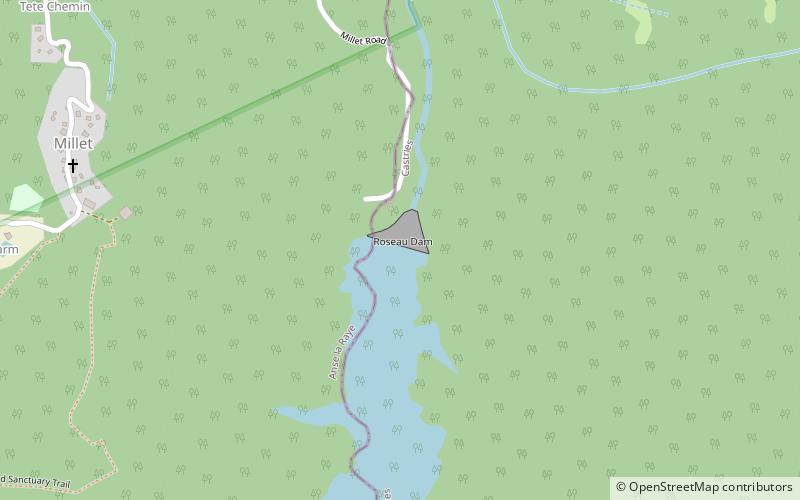
The John Compton Dam, formerly known as the Roseau Dam, is a concrete-face rock-fill dam on the Roseau River in the small community of Millet in central Saint Lucia. The primary purpose of the dam is municipal water supply. It is named after John Compton, the former Prime Minister of Saint Lucia, who was influential in its implementation. ()
Opened: 1995 (31 years ago)Length: 656 ftHeight: 148 ftCoordinates: 13°54'1"N, 60°59'17"W
Location
Anse-la-Raye
ContactAdd
Social media
Add
Day trips
John Compton Dam – popular in the area (distance from the attraction)
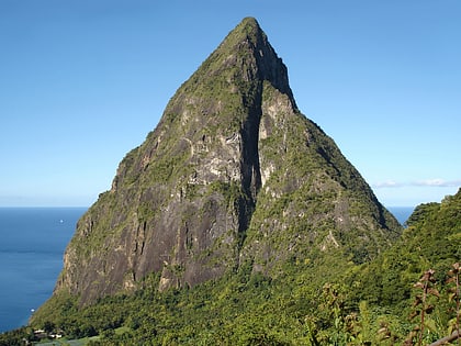
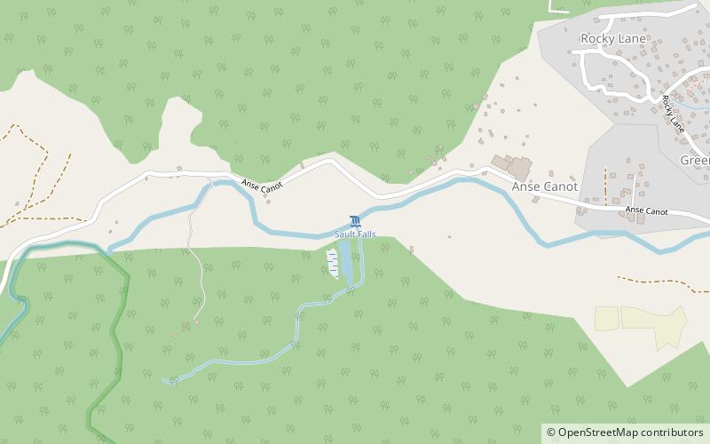
Nearby attractions include: Qualibou, Petit Piton, St. Lucia Botanical Gardens, Sault Falls.
